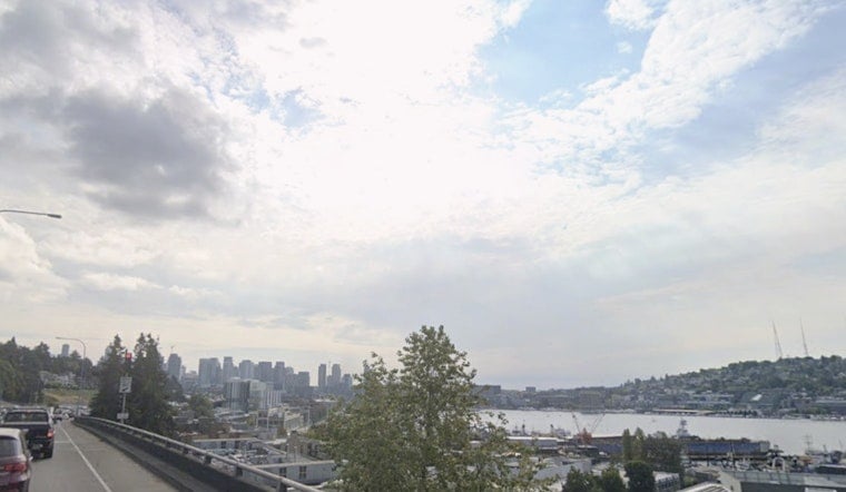
Seattle's cool, 57°F start at Boeing Field will be a distant memory soon enough, with the city heading into a hot stretch that will stick around through early next week. Saturday is the warmup act, but the main event arrives Sunday and Monday, when a Heat Advisory kicks in from 11 a.m. Sunday, June 14, through 5 a.m. Tuesday, June 16. That timing means a couple of steamy afternoons and not much overnight relief.
What To Expect
Saturday is expected to stay sunny with a high near 81°F around Seattle. By Sunday, temperatures should climb into the 85°F to 87°F range across much of the city, with inland spots jumping into the upper 80s to low 90s. Monday is on track to be the hottest day, with highs near 88°F in town and even warmer readings east of the lowlands.
Overnight lows will only fall into the upper 50s to low 60s, which means many neighborhoods will not cool off as much as usual. That lingering warmth is a key reason for the Heat Advisory and can be rough on anyone without air conditioning or good ventilation.
Afternoon Winds And Fire Concerns
According to the National Weather Service, northerly winds will pick up this afternoon, with gusts of 15 to 20 mph expected on Puget Sound and in some of the typical gap wind areas. Offshore flow will help keep humidity low in the drier spots, with relative humidity values dropping into the teens on Sunday and Monday.
That mix of hot, dry air and breezy conditions brings elevated fire danger for dry grass and brush. If you were planning any outdoor burning or dealing with piles of yard debris, this is a good stretch to hit pause and keep hoses, water, and tools within easy reach.
Heat Safety And Cooling Resources
Health officials advise treating this as more than just a "nice warm weekend." Drink plenty of water, skip long stretches in direct sun during the hottest parts of the afternoon, and shift heavy outdoor chores to the morning or evening if you can. Never leave children or pets in parked vehicles, even for a short errand, and check in on neighbors or relatives who may not have air conditioning.
For help finding daytime cooling locations and related resources, call 2-1-1 or visit WA211 for up-to-date listings.
Outlook
The upper level ridge responsible for the heat is expected to weaken starting Tuesday as onshore flow returns. That shift will pull cooler marine air back into the region, with highs sliding into the 60s and 70s by midweek.
Coastal and marine conditions should stay relatively calm through the weekend, but seas are forecast to build late Tuesday into Wednesday, so shoreline visitors and boaters will want to stay tuned to updated forecasts. If you have outdoor plans on Sunday or Monday, factor in shade, rest breaks, and lots of extra water so you can enjoy the sun without paying for it later.


