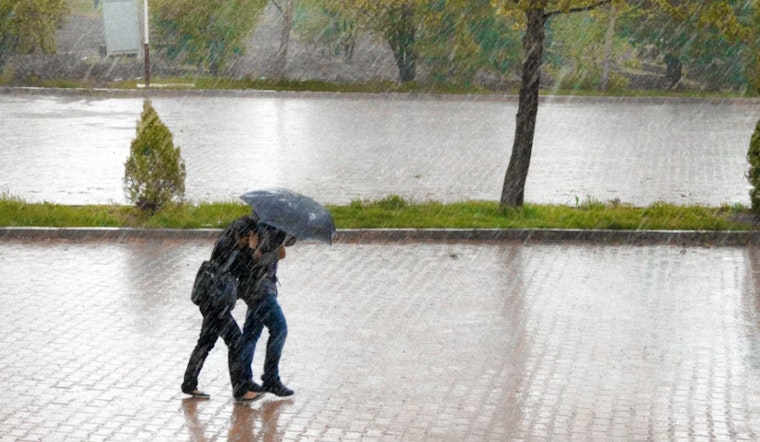
This morning (Monday, June 1, 2026), St. Louis woke up to cloudy, muggy skies and temperatures hovering around 70°F, with a stormy setup already in play. Showers and thunderstorms are likely through mid-morning, and the strongest cells could bring damaging wind gusts, hail, and brief but intense downpours.
Morning Round: Strong Storms Possible
The first round of showers and thunderstorms is expected to move through before 9 to 10 a.m., with heavy rain possible and about a 90% chance of precipitation. Some storms could reach severe limits, mainly through damaging wind gusts and hail, so be ready for quick-hitting downpours and frequent lightning, according to the National Weather Service St. Louis.
Afternoon Threat And Commute
A second round is possible this afternoon across southeast Missouri and southwest Illinois and could clip parts of the St. Louis metro, bringing another window for gusty winds and heavy rain. There are no widespread watches or warnings in effect at the time of publication, but conditions could change quickly. If you are heading out for the evening commute, build in extra time and avoid flooded streets.
Rest Of Week
Dry weather is expected Tuesday through Thursday with highs in the low-to-mid 80s before storm chances return late this week and into the weekend. The National Weather Service St. Louis forecast shows highs near 81 on Tuesday and in the mid-to-high 80s by Thursday and Friday, so expect warmer and wetter conditions by the weekend.


