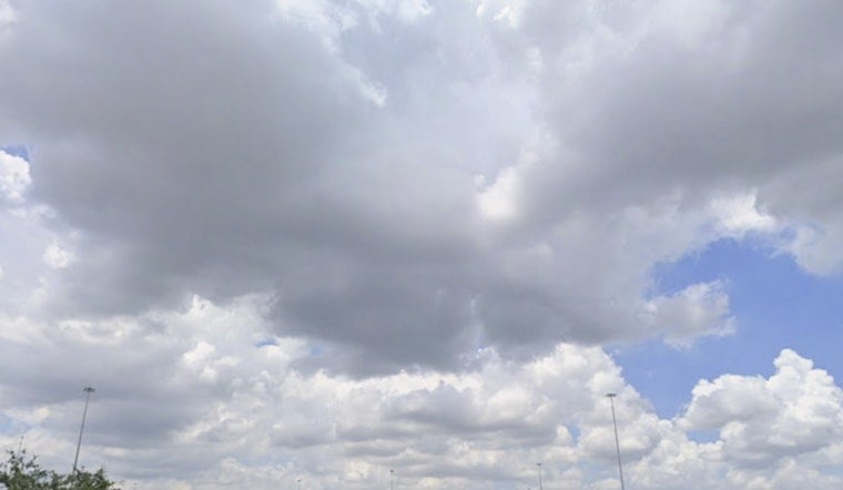
San Antonio started Sunday, June 21, 2026, under mostly cloudy skies, upper‑70s temperatures and the kind of muggy humidity that makes coffee runs feel like a workout. There is a slight chance of showers or an isolated thunderstorm before early afternoon, but most neighborhoods are in for a mix of sun and clouds. The main headline is the heat: highs will climb into the low 90s, and it will feel noticeably hotter as the day wears on.
Afternoon Heat And Storm Chance
Through late morning there is a slight chance of showers and thunderstorms, mainly before 1 p.m. After that, skies turn partly sunny with a high near 91°F. Thanks to the humidity, heat‑index values are expected to reach around 100 to 101°F this afternoon, so any time outside will feel hotter than what the thermometer shows. South‑southeast winds will blow around 5 to 10 mph, with gusts up to about 25 mph during the peak afternoon hours.
Monday Outlook
Monday, June 22, 2026, looks even hotter, with highs in the low to mid 90s and heat‑index readings that could reach around 105°F. A Heat Advisory may be needed for parts of the Coastal Plains Monday afternoon if those higher heat‑index values develop, according to NWS Austin/San Antonio. If you can, shift outdoor work to the morning or evening and keep water close by during the peak afternoon heat.
Afternoon Winds Pick Up
South‑southeast breezes will be a steady feature this week, and any thunderstorms that do form could briefly kick out stronger, gusty winds. Overnight lows will stay warm, generally in the mid to upper 70s, so there will not be much relief from the humidity after sunset. During any passing storms, the main short‑term concern through early evening will be those stronger gusts.
Where To Stay Cool
Residents without reliable air conditioning have options. The city maintains an interactive map of places to stay cool, including libraries, senior centers, pools and community centers, and can be reached at 311 to help locate a site. Details on these locations and additional heat‑safety tips are available from the City of San Antonio. Employers and event organizers are encouraged to move strenuous activities out of the midafternoon window when heat‑index values spike.
For the rest of the week, the pattern stays warm and mostly dry, with highs generally in the low to mid 90s and only isolated storm chances on a few afternoons. Updates will follow if the NWS issues a Heat Advisory for Monday or if any watches or warnings change. In the meantime, plan for regular water breaks, shade for kids and pets and a quick forecast check before heading out.


