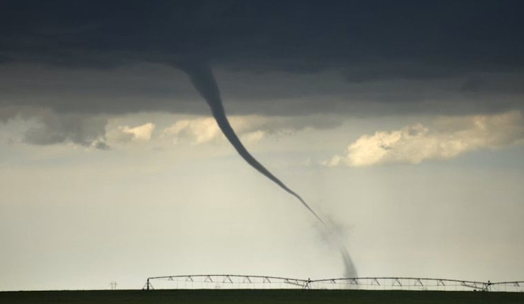
A tornado watch rolled out Thursday afternoon across parts of southeast Wisconsin, putting residents in Racine, Kenosha and Walworth counties on alert through the evening. Forecasters warned that storms could spin up quickly and produce tornadoes or damaging straight-line winds. Local officials urged people to review their shelter plans and make sure they have more than one way to receive warnings. The watch comes as a strong storm system pushes east across the Midwest, bringing heavy rain and rounds of severe storms into the region.
According to the Milwaukee Journal Sentinel, the National Weather Service in Milwaukee-Sullivan issued Tornado Watch 313 for the area. The watch runs until 9 p.m. CDT and covers Green, Kenosha, Lafayette, Racine, Rock and Walworth counties. Forecasters said several tornadoes and areas of damaging wind are possible while the watch remains in effect.
What a tornado watch means
A tornado watch means the atmosphere is primed for tornadoes to develop, not that one has actually been spotted. The National Weather Service in Milwaukee-Sullivan advises people to be ready to move to a basement or the lowest floor and to put as many walls as possible between you and the outside if a warning is issued. If you are driving during a tornado warning, the NWS says you should get off the road and seek refuge in a sturdy building or, if there is absolutely no shelter available, lie flat in a low spot and cover your head.
Where the watch applies
The watch stretches from the state’s southern interior all the way to the Lake Michigan shoreline and includes cities such as Janesville, Beloit, Racine, Kenosha and Lake Geneva among those at risk, as reported by the Milwaukee Journal Sentinel. Early storms are expected to fire up near the Illinois border and could remain relatively isolated and rotating before merging into a broader line that favors damaging winds. Residents in the named counties are urged to monitor local forecasts and be ready to take shelter without delay if warnings are issued.
Storm outlook and timing
Forecasters say the most dangerous window arrives this afternoon into the evening, when discrete supercells could produce tornadoes before transitioning into a more widespread damaging-wind threat. FOX6 Milwaukee notes that the Storm Prediction Center has placed parts of southern Wisconsin under an Enhanced Risk, and that a Flood Watch is also in effect for southeast counties. Meteorologists are urging people to have multiple ways to receive warnings and to be prepared to move to shelter quickly.
How to stay ready
If a tornado warning is issued for your area, move to a basement or the lowest interior room away from windows and protect your head. The National Weather Service also recommends covering yourself with a mattress or heavy blankets for added protection. If you are on the road, NWS guidance is to seek a sturdy building for shelter, and only if there is no building nearby should you lie flat in a ditch or low area and cover your head. Keep your phone charged, enable local weather alerts and consider checking on neighbors who might need help getting to safety.


