

























































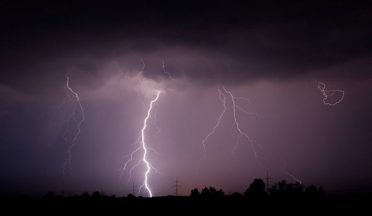
Strong thunderstorms muscled across parts of eastern North Carolina on Saturday evening, prompting an alert from the National Weather Service office in Raleigh. Forecasters flagged the risk of wind gusts up to 50 mph and frequent cloud-to-ground lightning, powerful enough to snap tree limbs and send loose outdoor items flying. The alert zone stretched from Goldsboro to Tarboro and covered portions of I-95 and NC-264, remaining in effect until 7:45 p.m.
Where The Storms Are Headed
As of 6:54 p.m., Doppler radar was tracking a strong thunderstorm about 9 miles south of Bailey, pushing east at roughly 45 mph with additional intense cells lurking nearby. According to the National Weather Service, the main threats were wind gusts up to 50 mph and frequent lightning. Forecasters urged anyone caught outside to move quickly into a sturdy building or vehicle and wait it out until the line of storms passed.
Towns And Highways In The Crosshairs
The Special Weather Statement singled out Goldsboro, Tarboro, Wilson, Elm City, Fremont, Pinetops, Kenly, Lucama, Stantonsburg and Black Creek as communities likely to feel the brunt of the storms. As reported by The Charlotte Observer, the alert also covered Interstate 95 between mile markers 121 and 105, along with NC Highway 264 between mile markers 34 and 56. Local officials warned that gusty outflow winds could arrive before you actually see rain or lightning, a setup that can catch drivers and anyone outdoors off guard.
Lightning Risk And Safety
The National Weather Service reminded residents that lightning does not have to be overhead to be dangerous. Strikes can hit as far as 10 miles from a thunderstorm, and the United States averages about 25 million lightning strikes each year, resulting in roughly 20 deaths annually. Those figures and safety tips come from the National Weather Service. If you cannot get indoors, avoid open fields, hilltops and metal objects, and wait a full 30 minutes after the last clap of thunder before heading back outside.
What Residents Should Do Now
For now, it is a good night to secure any loose outdoor furniture, trash cans or decorations, and to postpone nonessential trips through the affected highway corridors. Give large trees and wooded areas a wide berth until the storms move on, and keep an ear on local media, traffic reports and updated NWS alerts in case conditions change or additional warnings are issued this evening.





.jpg)