

























































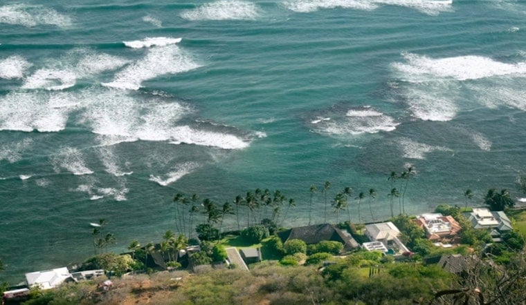
Honolulu wakes up partly cloudy and muggy this Sunday, July 19, with temperatures sitting in the mid-70s and heading toward a warm high near 85F. East-northeast trades will crank up through the day, turning breezy and at times gusty, which means exposed shorelines and channels get choppy in a hurry. South-facing surf is expected to build tonight, so small boats and casual beach days could feel a bit sketchier than usual.
Marine And Surf Concerns
A Small Craft Advisory is in effect through 6 p.m. HST Sunday, July 19, for Maalaea Bay, the Pailolo and Alenuihaha Channels, and portions of the Big Island coastline. Small, open vessels should steer clear of these waters and be ready for elevated seas and gusty ENE winds. A long-period south swell is forecast to build late Sunday into Monday and could nudge south-facing breaks close to advisory levels. For the latest watches and marine products, see the National Weather Service Honolulu.
Winds, Showers And What To Expect This Week
Trades are sticking around through much of the week, with daytime speeds commonly 10 to 20 mph and gusts pushing into the upper 20s at times, especially along ridgelines and exposed shorelines. Showers will be hit or miss and will favor windward and mauka spots overnight and in the early mornings, while most leeward neighborhoods stay mostly dry. Forecasters expect the trades to ease a bit late this week, then strengthen again next weekend.
Plan Accordingly
If you are heading on or near the water, consider going earlier in the day or choosing more sheltered leeward beaches, and make sure canopies and loose gear are tied down as gusts pick up. Lifeguards and mariners should follow posted advisories and check updated products and the NWS forecast discussion before heading out.



