

























































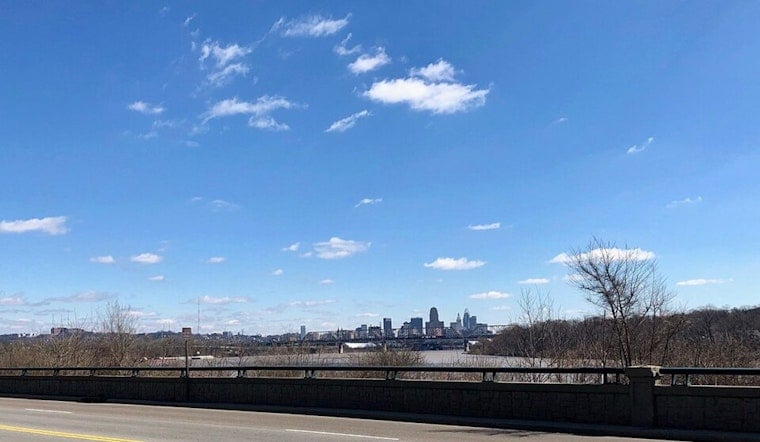
Cincinnati rolled out of bed in a haze today with patchy fog, muggy air, and temperatures hovering near 70°F. Humidity was running very high in the early hours, but that gray start is set to give way to a steamy, partly sunny afternoon, with highs pushing into the upper 80s.
Fog Fades, Heat Cranks Up
Patchy fog is expected to hang around through the morning before finally lifting by mid-morning. By midday, temperatures should be in the low to mid 80s, on the way to a high near 88°F. North winds will stay on the light side, around 1 to 6 mph, which means the heat is more likely to feel sticky than refreshing. For the full breakdown, check the National Weather Service Wilmington.
Pop-Up Storms Through Midweek
There is a small chance for isolated storms late today, mainly south and east of I-71, with another window for a few storms tomorrow afternoon, roughly between 2 and 5 p.m. Coverage should stay limited, but any storm that does fire up could bring brief heavy rain and frequent lightning. If your plans involve ballfields, patios, or parks in the afternoon, keep a backup option or be ready to hit pause for a quick downpour.
Late-Week Soaker On The Table
A larger system is set to move in Thursday and linger into the weekend, with the highest risk for widespread showers and thunderstorms on Friday. Forecasters are keeping an eye out for training storms, which can repeatedly track over the same areas and bring heavy downpours and localized flooding. New rainfall amounts around a quarter to a half inch are possible in some spots. The Weather Prediction Center has flagged an elevated risk of excessive rainfall for parts of the Ohio Valley late in the week.
Commute And Event Tips
If you are heading out this morning, plan on extra travel time where fog is thick and visibility is reduced, and stick with low beams, especially in and near river valleys. Looking toward Thursday and Friday, it is smart to have a Plan B for outdoor events in case storms roll through. After any heavy downpour, avoid driving through standing water, even if it looks shallow. Keep an eye on local service alerts before you head out and check updated forecasts as the week unfolds.
Quick Look
Tuesday, July 7: Patchy fog early, then turning partly sunny, high near 88°F.
Wednesday, July 8: Mostly sunny with a slight chance of afternoon storms, high near 89°F.
Thursday and Friday, July 9–10: Increasing chances for storms and humid highs around 90°F, with Friday carrying the best shot at heavy showers and localized flooding. Overnight lows will hold in the upper 60s to low 70s through the period.




.jpg)