

























































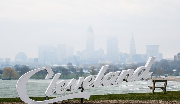
Cleveland is starting the day in a sticky haze, with temperatures already in the mid-70s at Burke Lakefront and a shot at patchy, locally dense fog along and east of the I-71 corridor. The soupy start should not last all day, though. Forecasters expect the fog to thin by midmorning, giving way to partly sunny skies and a high near 84°F. By afternoon, a northeast breeze will kick in and make Lake Erie noticeably choppier than the air temperature might suggest.
Foggy Morning Commute
The thickest fog threat targets neighborhoods along and east of I-71, where lower visibilities are already being reported farther east. The National Weather Service notes that some locations could briefly see visibility dip below a half-mile, so drivers should budget extra travel time and stick with low beams. Forecasters at the Cleveland office expect most spots to clear within a couple of hours after sunrise, although mist may hang around in low-lying areas. If visibility drops, ease off the gas and keep an eye out for potentially slick pavement until conditions improve.
Afternoon Winds And Lake Conditions
High temperatures are on a slow climb, with readings near 84°F today building into the mid-to-upper 80s by Monday. The hottest stretch is expected on Tuesday, July 14, when highs could reach the low 90s. Through this period, northeast winds should generally run about 10 to 16 mph, with stronger gusts along the lakeshore. Those winds are expected to kick up 2 to 4 foot waves and create a moderate swim risk along the south shore. Boaters and beachgoers should plan for choppy water and rougher swims, though conditions are currently forecast to remain just below small-craft advisory levels.
What To Expect This Week
By tomorrow, July 12, high pressure is set to build over the region, bringing a stretch of dry weather that should last through at least midweek. That quieter pattern will also help daytime highs climb into the upper 80s and low 90s by Tuesday, July 14. As the heat ramps up, so do the odds of elevated heat indices later next week, and city and county officials have been activating cooling centers to help residents who are most at risk. For context on how the week began and how we got to this warm, windy setup, check out coverage of the week’s soggy start.




.jpg)