

























































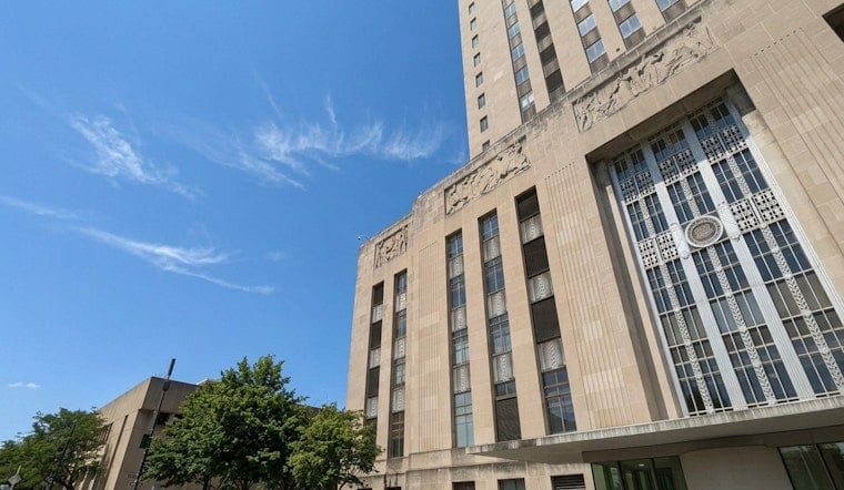
Early Wednesday is giving Kansas City a rare break from the recent blast-furnace routine, with clear skies and comfortable air settling in over downtown. Morning readings at some area airports are closer to the mid-60s with a light NNE breeze, and the NWS AFD/TAF do not list a specific downtown airport observation, but plenty of sunshine is on tap through the morning. Look for an afternoon high close to 85°F, a brief but welcome cooldown before things turn wetter and then hotter again later in the week. If you have outdoor plans, this is the calm before a busy stretch of weather.
Today And Tonight
Wednesday stays mostly sunny with north to northeast winds and occasional gusts up to about 20 knots and a high near 85°F. Overnight, clouds and a little moisture creep back in, with a slight chance of showers after 1 a.m. and lows in the upper 60s. Forecast details come from the National Weather Service.
Thursday Night Into Friday: Rain And Flooding Risk
By late Thursday, the script flips. Rain chances increase through the evening, with showers and thunderstorms most likely Thursday night into Friday and a widespread chance of measurable rain during the day Friday. Some forecast guidance points to repeated, slow moving storms that could drop roughly a quarter to three quarters of an inch of new rain in many spots, with isolated higher totals where storms linger.
That overlap in heavy rain raises the potential for localized flash flooding and nuisance street flooding. The National Weather Service recommends keeping an eye on updates, since exact timing and amounts can still shift; check the latest details in the National Weather Service forecast.
Weekend Heat Returns
Once the rain moves out, the furnace door swings back open. Highs are forecast to rebound into the mid-90s over the weekend, with heat indices potentially reaching or exceeding 100°F. That sharp turnaround follows our July 20 coverage of the earlier heat advisory, which dug into the origins of the heat dome and local cooling options; see our earlier heat advisory coverage.
What To Watch
Plan on potentially soggy commutes from Thursday night into Friday, especially in spots that do not drain well. Never drive through standing water and avoid low water crossings that tend to flood. Keep phones charged, watch for local alerts, and be ready to shift outdoor plans while the heavier storms move through.





