

























































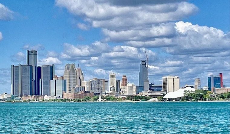
Detroit wakes up under bright, mostly clear skies this morning, with temperatures hovering around 60°F at area observation sites. It is shaping up to be a classic summer today: mostly sunny, a high near 81°F, and light east winds keeping things calm and lake-influenced. Enjoy it while it lasts, because this quieter stretch wraps up later in the weekend as temperatures climb and humidity builds into next Sunday and Monday, bringing a better shot at storms next week.
Today And This Weekend
Mostly sunny weather sticks around through tomorrow. Today tops out near 81°F, and tomorrow inland highs push toward 86°F under a light west-southwest breeze. Late Saturday night, after about 2 a.m., a slight chance of rain showers creeps in, with lows settling in the upper 60s. Lakeshore neighborhoods should run a degree or two cooler thanks to an onshore flow. As humidity ramps up, it is smart to keep outdoor evening plans a bit flexible.
Heat And Storms Next Week
By next Sunday, the air turns stickier, with highs near 89°F and about a 30 to 40 percent chance of scattered showers and storms. Next Monday looks hotter, with highs near 90°F and heat indices climbing into the mid-90s. Showers and thunderstorms are likely Monday, with the best chance for organized, potentially strong storms arriving Monday night. Risks include damaging wind, frequent lightning, and heavy downpours capable of producing brief, intense rainfall. Local cooling options and safety guidance are available from the City of Detroit, and the latest forecast is on the National Weather Service.
Timing And Practical Tips
Two main rounds of storms are on the table for next Monday, one early and another late, with the stronger window favored next Monday evening into the overnight hours. Try to wrap up or move outdoor plans before that evening window and secure loose outdoor gear ahead of time. For the warmest days, bring water and find shade when you can, and older adults, young children, and people with medical conditions should avoid prolonged outdoor exertion once heat indices rise into the mid 90s. Boaters should keep a close eye on conditions from next Monday night into next Tuesday, when a shift to gusty northerly winds could turn local waters choppy.
Where Things Stand Now
There are no active watches or warnings for Detroit this morning, but that could change quickly if storms organize. Check the latest forecast before heading out for travel or outdoor plans. This outlook will be updated if local watches or advisories are issued.




