

























































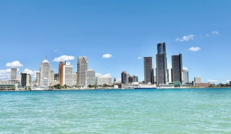
Detroit is waking to clear skies today, but the calm is a short intermission: temperatures will climb from the low 60s into the upper 80s today, touch 90 Friday, then give way to a wet Saturday. The weekend forecast is shaping up as a classic two-act summer setup, with sunshine first and showers later.
Sunny Thursday Leads Into A Hotter Friday
Today will be sunny with a high near 87 degrees and north winds around 5 to 8 mph. The National Weather Service Detroit/Pontiac forecast calls for a partly cloudy Thursday night with a low near 66, followed by a mostly sunny Friday that reaches about 90 degrees.
Tomorrow should stay dry for most of the day, with light west-southwest winds. Clouds will thicken tomorrow night, and rain showers could arrive after 2 a.m. Saturday, with a 40% chance of precipitation, according to the National Weather Service.
Saturday Looks Like The Weekend Washout Risk
Saturday is the unsettled day, with showers likely before 11 a.m. and showers and thunderstorms likely afterward. Skies will stay cloudy, the high will be near 80, and the chance of precipitation is around 60%, making outdoor plans more of a keep-an-eye-on-the-sky situation than a lock.
Saturday night keeps a 60% chance of showers and thunderstorms, with temperatures falling to around 64. The forecast currently lists no active watches, warnings or advisories, and the expected thunderstorms are not being presented as a severe-weather event.
Sunday Brings A Quick Reset
A slight chance of showers lingers before 8 a.m. next Sunday, but skies should turn mostly sunny with a high near 82. Compared with last Saturday's Hoodline outlook, the main rain window has shifted earlier, putting Saturday at the center of the weekend forecast.
Dry weather is expected to return next Monday, when Detroit should see sunshine and a high near 82. Temperatures then rise to about 86 Tuesday and 88 Wednesday, with another chance of showers and thunderstorms Wednesday afternoon.




