

























































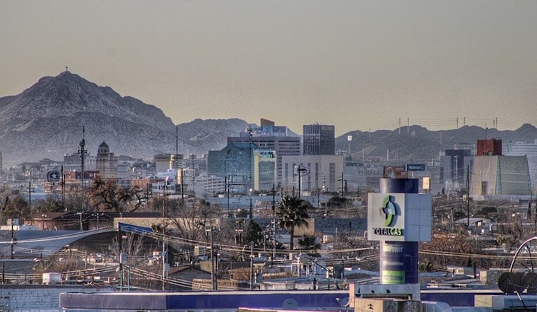
El Paso woke up to clear skies and about 72°F this morning, with the high expected to top out near 94°F on Friday, July 17. Mostly sunny conditions will dominate through the early afternoon, but a slight chance of showers and thunderstorms creeps in after about 3 p.m., with the odds ramping up after dark. If storms fire, expect brief heavy downpours and gusty winds that can quickly fill low spots with water and send outdoor plans scrambling for cover.
Afternoon Into Night: Timing And Impacts
Storms should stay mostly isolated through the afternoon, but forecasters expect coverage to increase tonight, with about a 60–70% chance of showers and thunderstorms Friday night. The highest odds line up roughly between 9 p.m. and 11 p.m. Stronger storms may bring sudden gusts around 40–45 mph and brief bursts of heavy rain, which can cause rapid ponding at low-water crossings and on flood-prone streets, according to the National Weather Service. Keep a fallback plan to head indoors if lightning pops up or rain turns torrential, and steer clear of standing water on the roads.
Weekend Outlook And What To Do
Moisture streaming in from the south will keep storm chances elevated through Sunday, July 19, with additional rounds of showers and thunderstorms possible Saturday night and Sunday afternoon. City officials are urging residents in flood-prone neighborhoods to get ready now. Free sandbag pickup is available at the Stormwater Operations Center and seasonal satellite sites, according to the El Paso Office of Emergency Management. Residents are advised to bring someone to help lift sandbags, move valuables to higher ground, and never drive through flowing or standing floodwater.
Bottom Line
Look for a hot, mostly sunny afternoon with only isolated showers, followed by a greater threat of thunderstorms late Friday night and into the weekend that could dump quick, heavy rain in spots. Check local forecasts and alerts before heading out, avoid flooded roadways, and follow any advisories from city or emergency officials if conditions take a turn.


