

























































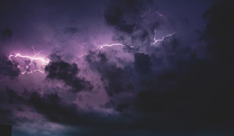
Strong thunderstorms barreled into Forsyth and Davidson counties Monday evening, dumping heavy rain, firing off frequent lightning and kicking up gusty winds that forecasters warned could snap tree limbs and trigger localized flooding. Doppler radar showed the storms racing east at about 20 miles per hour, prompting quick-hit but urgent alerts across the Piedmont. People in Winston-Salem, Lexington and Thomasville were urged to get inside and steer clear of flooded roads as the line moved through.
Where The Storms Were Tracking
According to a special weather statement from the National Weather Service in Raleigh, issued at 7:16 p.m., a strong thunderstorm was located over Mocksville and was moving east at about 20 mph. Forecasters said it would affect southern Forsyth and Davidson counties through 8:15 p.m. The bulletin called for wind gusts up to 50 mph and warned that torrential rainfall may lead to localized flooding, urging drivers to avoid going through flooded roadways.
Communities And Highways In The Path
The advisory singled out Winston-Salem, Lexington, Thomasville, Kernersville, Clemmons and several smaller communities as being in the storm's path. It also flagged stretches of Interstate 85, Interstate 40 and Interstate 74 as spots that could see heavy downpours and debris, as reported by the Charlotte Observer.
Expected Hazards And Travel Impacts
Forecasters warned that gusts around 50 mph could pull down limbs, damage siding and cause power outages. Intense but brief downpours were expected to create flash flooding and poor visibility. Drivers were urged to slow down, flip on headlights and avoid standing water, since hydroplaning and sudden closures are common when these bursts of heavy rain hit.
Safety Tips
Anyone caught outside was advised to head for a sturdy building or a hard-topped vehicle and to stay away from windows and plumbing. The National Weather Service notes that thunderstorms produce millions of lightning strikes each year and recommends waiting at least 30 minutes after the last rumble of thunder before getting back to outdoor activities. Full details are available in the NWS lightning safety guidance. Residents were also urged to keep phones charged, pay attention to wireless alerts and report downed lines or flooding to authorities.
For ongoing updates, residents are encouraged to monitor the National Weather Service in Raleigh along with local news outlets. The Raleigh News & Observer carried the advisory and will update if warnings are extended.





