

























































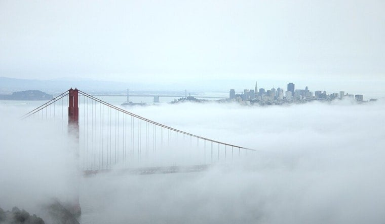
San Francisco woke up today under a cool marine layer, low clouds clinging to the waterfront and temperatures stuck near 58°F to start the day. The gray is expected to peel back inland by mid to late morning, giving most neighborhoods a decent dose of afternoon sun and a high close to 70°F. After dark, the city slips back into the chill, with nighttime readings in the upper 50s.
Afternoon And Week Ahead
According to the National Weather Service, highs should hover near 70°F today and then climb into the mid 70s inland tomorrow and on Wednesday, while coastal spots stubbornly stay cooler. Overnight lows will mostly range from 58°F to 60°F across the city. Forecasters are also watching a small, roughly 5 percent chance of elevated showers or an isolated thunderstorm from tomorrow into Wednesday, but they do not expect any kind of widespread rain.
Foggy Mornings, Sunny Afternoons
The classic Bay Area split is lining up again: low clouds and pockets of drizzle near the water to start the day, with inland areas breaking out into blue sky first. A sea breeze from the west southwest should ramp up to about 5 to 12 mph this afternoon, with a few stronger gusts possible on exposed hills and bridge approaches. If you are biking or walking the Golden Gate or Bay Bridge, a light layer will be your friend once that afternoon breeze kicks in.
Out On The Water
On the bay and offshore, boaters can expect moderate northwesterly breezes through Wednesday, followed by strengthening winds later in the week. A southerly swell from Pacific activity will mix in and could leave seas feeling confused and choppy, especially for smaller boats. Anyone planning to head offshore Thursday into Friday should track the latest updates and be ready to stick to more protected harbors if conditions get too lumpy. If any of those elevated showers materialize early in the week, local marine forecasts may also flag gusty, erratic outflow winds.





.jpg)