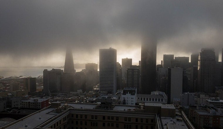
San Francisco started today under a stubborn lid of marine layer, with temps hovering near 55°F and fog clinging to the shoreline. A slight shot at isolated, blink-and-you-miss-it showers hangs on through mid-morning, but skies are expected to clear to mostly sunny by afternoon with highs around 67°F. West-southwest winds will crank up later in the day and knock a few degrees off how it feels near the water, so if you are headed for a ferry ride, a bridge walk, or evening plans, a light layer is your best friend.
Morning Fog And Isolated Showers
Forecasters are keeping a slight (roughly 15–20%) chance of scattered, light showers in the mix through mid-morning Sunday, with any rain expected to be brief and hit-or-miss. Most neighborhoods are more likely to deal with low clouds and some drizzle instead of any sustained rain. By midday, the marine layer should pull back toward the immediate coast. For full local timing and hour-by-hour details, check the National Weather Service.
Afternoon Winds Pick Up
Onshore winds will ramp up into the afternoon, generally running 7–13 mph with gusts to about 18 mph. More exposed gaps, bridge approaches and shoreline spots could see stronger gusts in the 20–25 mph range. The breeze will make it feel cooler near the water than the actual reading on the thermometer, so plan on extra layers for dinner or sunset plans. Boaters, cyclists and outdoor vendors should secure loose gear for those gustier stretches.
Week Ahead
Tomorrow is set to look a lot like today, with cool mornings and afternoon clearing. After that, a gradual warming trend builds in by midweek. Inland valleys are expected to heat up the fastest, with upper 80s to low 90s possible Wednesday through Friday and the hottest interior pockets briefly flirting with triple digits. Mariners should keep an eye on later forecasts as winds trend from fresher to stronger by midweek, with the potential for near-gale conditions offshore later in the week.


