

























































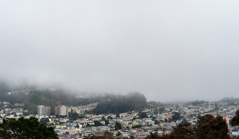
San Francisco woke up to a cool, cloudy start today with a low near 55F and a marine-layer blanket parked along the coast. Highs are expected to top out around 64F this afternoon, but gusty west winds will leave the shoreline and exposed hills feeling extra breezy into the evening.
Foggy Mornings, Brighter Afternoons
Patchy fog and low clouds will be the morning routine, especially near the water, typically mixing out inland by midday and giving way to partly sunny skies across much of the city. The immediate shoreline will stay on the cooler side, while inland neighborhoods could climb into the 70s and low 80s later in the week.
Afternoon Winds Pick Up
West winds are forecast to ramp up through the afternoon, generally 8 to 16 mph with gusts into the mid-20s mph, and a few stronger bursts over exposed headlands and bridge crossings. Cyclists, drivers of high-profile vehicles, and anyone hosting outdoor events should expect sudden gusts and make sure tents, chairs, and other lightweight gear are tied down.
Beach Hazards And Marine Advisories
A Beach Hazards Statement is in effect through Friday, flagging an increased risk of sneaker waves, strong rip currents, and large breaking surf along Pacific-facing beaches. According to NWS San Francisco, the forecast includes west winds 8 to 16 mph with gusts as high as the mid-20s and daytime highs near 64F, with Small Craft Advisories posted for nearby coastal waters. Lifeguards and officials are urging people to stay off jetties, piers, and rocks and to never turn their backs on the ocean.
How To Plan
If you are heading to the coast this week, keep a safe distance from the surf line, avoid rocks and jetties, and skip swimming or surfing while advisories are active. For inland plans, bring a light layer for the cool mornings and enjoy the pleasant afternoons. Check conditions before traveling and postpone small-boat trips if advisories cover your route.





