

























































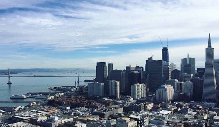
San Francisco woke up today to a classic midsummer fake-out: mostly cloudy skies, a cool breeze, and morning temperatures stuck in the upper 50s to low 60s. A weak plume of subtropical moisture is brushing the Bay Area, which means you might catch a fleeting high-altitude sprinkle or a streak of virga overhead. Most spots will stay dry, with inland highs expected near 82°F and bayside neighborhoods topping out in the mid 70s.
What To Expect Today
According to the National Weather Service, isolated, high-based showers could hang around today, but the odds of measurable rain are low, with hourly POPs mostly in the 2–4% range. Expect west-southwest winds of 2 to 10 mph this afternoon, with a bit of extra cooling near the water by evening. The agency has no active watches or warnings posted for the city.
Afternoon Winds Pick Up
Onshore breezes are expected to strengthen from mid to late week, with gusts up to 20 mph possible tomorrow in exposed areas such as the Golden Gate and the Embarcadero. That will make the waterfront feel noticeably cooler even as inland neighborhoods stay warmer and drier. It is a good time to secure loose patio furniture and to use extra caution when biking across bridges.
Boaters And Shoreline Visitors
Mixed seas driven by distant tropical activity and a strengthening onshore flow could leave conditions choppy through the weekend, so small craft should use caution and stay on top of local marine advisories. Last week, we noted higher night tides and the potential for minor coastal ponding. You can revisit that weird weather setup for tide guidance and parking tips. If you are heading out on the bay or along the shoreline, confirm tide times and be ready for quick changes.
As always, dress in layers. A cool bay morning can flip to bright afternoon sunshine inland, while conditions right at the shoreline can swing fast. Keep an eye on updated forecasts and local advisories before you venture too far from your jacket.





