

























































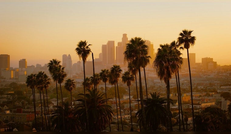
Downtown Los Angeles started Independence Day under a familiar gray blanket, with a thick marine layer, damp streets, and temperatures settling in the low 60s on Saturday, July 4. Patchy fog and low clouds are expected to hang around through the late morning before thinning out for afternoon sun. It is a cool, layers-friendly start that should flip to a warmer holiday finish as the basin climbs into the mid 80s by the afternoon.
Foggy Start, Sun-Baked Finish
According to the National Weather Service Los Angeles/Oxnard, mostly cloudy skies and patchy fog are likely before 11 a.m., followed by partial clearing and a high near 86°F. South winds should stay on the mild side at 0 to 10 mph, with the breeziest conditions funneled through coastal passes and canyons.
Slim Shot At Late-Day Mountain Showers
A weak upper impulse sliding in from the south brings about a roughly 10% chance of isolated convective showers late Saturday afternoon into the evening, mainly over the coastal ranges and nearby mountains. Limited moisture is expected to keep any storms brief and scattered, with only a small risk of dry lightning.
Midweek Warm-Up And Sundowner Breezes
High pressure is forecast to build early next week, pushing a warming trend into midweek with valley highs possibly reaching the mid to upper 90s and parts of the Antelope Valley nearing 100°F. Overnight lows will trend warmer on slopes and foothills, and modest sundowner gusts are possible Tuesday and Wednesday evenings.
Heading Inland? Pack Layers And Water
If your plans take you inland this afternoon, expect a noticeable warm-up and bring layers and water, while coastal pockets stay on the cooler side as the basin heats up. For local cooling-center locations and heat-safety guidance visit LA Emergency Management, and check the National Weather Service for the latest forecast updates.





