

























































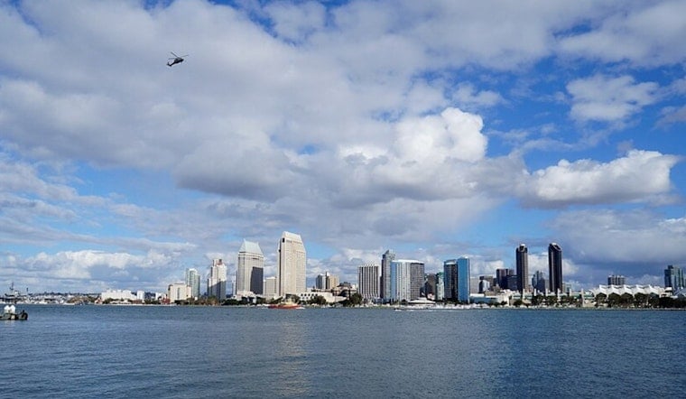
San Diego started today under a blanket of coastal clouds, with early temperatures in the mid 60s and afternoon highs projected near 75°F. At the same time, the National Weather Service has issued a Beach Hazards Statement flagging the risk of minor coastal flooding and elevated surf during evening high tides from tomorrow through next Tuesday, July 14.
Evening High Tides and Surf
Forecasters expect evening high tides to peak around 7 to 7.5 feet along the coast, while a south swell pushes surf into the 3 to 5 foot range on south-facing beaches. That combo can shove seawater into low-lying boardwalks, beach parking lots and shorefront streets. According to the National Weather Service San Diego, the greatest impacts are likely during the late-afternoon and evening high tides, and the advisory urges beachgoers to “remain out of the water to avoid hazardous swimming conditions.”
What Beachgoers Should Do
If you are planning an evening beach run between tomorrow and next Tuesday, move vehicles to higher ground and skip parking lots that sit right next to the sand, since they are the first to see saltwater creep in. Boardwalk businesses and beach access roads could also experience localized flooding. Lifeguards will post flag conditions at towers and can shut down towers if the surf and tides worsen, so stick to guarded beaches and follow whatever is posted on the signs or called out from the stands.
Rest Of The Week
Farther from the shoreline, the pattern looks quieter, with partly sunny afternoons and highs in the mid 70s to around 80°F through midweek, and the warmest readings expected inland by Wednesday. Starting Sunday and continuing into next week, afternoon thunderstorms are possible over the mountains, and any storms that pop up could bring gusty, erratic winds and brief heavy downpours. Before heading for the water, check the latest updates from lifeguards and the National Weather Service.



.jpg)