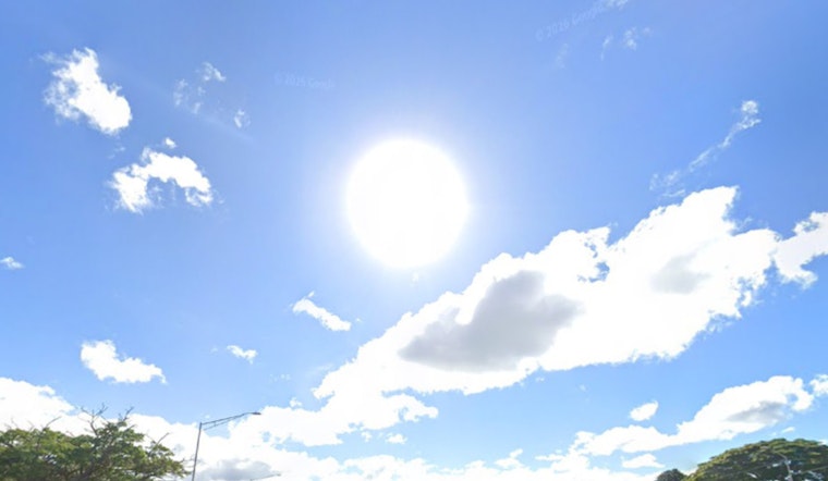
Honolulu wakes up under mostly clear skies Thursday, with an overnight low near 75°F and an afternoon high aiming for about 85°F. Northeast trade winds are back in the moderate-to-locally-breezy zone, which means choppy conditions along east-facing shores and a noticeable breeze pushing into inland neighborhoods.
Afternoon Winds Pick Up
Through the day, northeast winds will generally run about 12 to 16 mph, then tick up into the mid-teens with gusts into the low 20s by afternoon. Expect the strongest push on exposed bridges and coastal roads, where crosswinds can get your attention in a hurry. Dewpoints have slipped into the upper 60s, so it should feel a bit less sticky than earlier in the week, even with the breeze.
Marine Outlook And Advisories
A Small Craft Advisory is posted until 6 p.m. HST this evening for Maalaea Bay, the Pailolo and Alenuihaha channels, and nearby Big Island waters, with northeast winds up to 25 kt and choppy seas, according to the National Weather Service Honolulu. Inexperienced mariners and operators of smaller boats should avoid exposed crossings and stick to more sheltered harbors while the advisory is in effect. Rough, choppy conditions along east-facing shores are expected to hang on through Friday.
Holiday Weekend Outlook
Trades are forecast to ease a bit tonight into Friday, then strengthen again over the holiday weekend. A drier airmass will keep most showers focused on windward and mauka areas, so many Saturday outdoor plans look workable, just on the windy side. For a look at how this setup has been building over the past few days, check out the sticky trades whipping Honolulu earlier this week.
If you are heading for the water, wear a life jacket, check local marine forecasts, and consider launching from more sheltered harbors. For land-based plans, a light windproof layer could make evening outings more comfortable, and drivers should be ready for gusty crosswinds on exposed stretches of road.


