

























































Honolulu is waking up to warm, breezy trades and scattered showers on Saturday, July 25, 2026, as a classic island weather pattern gets a little extra punch. Daytime highs will be near 85°F with muggy overnight lows holding in the mid-70s, and quick windward showers are possible through the weekend. A High Surf Advisory is in effect for south-facing shores through 6 a.m. HST Sunday, July 26.
Afternoon Winds Pick Up
East-northeast trades are expected to strengthen into the afternoon with sustained speeds around 13–21 mph and gusts up to about 30 mph, leaving exposed ridgelines and shoreline areas feeling especially blustery. Winds stay breezy into Saturday night and Sunday with occasional higher gusts funneling through windward corridors.
Forecasters at the National Weather Service also note that the approaching tropical system Fausto could alter the wind pattern early next week and bring stronger winds and heavier showers near the storm's center.
Surf And Boating Hazards
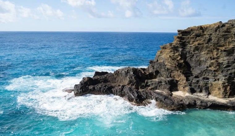
The High Surf Advisory means large breaking waves and strong rip currents along south-facing beaches, and lifeguards are urging caution while asking people to skip unguarded shorelines altogether. Small craft should brace for choppy conditions in Maalaea Bay, the Pailolo and Alenuihaha Channels and around leeward Big Island waters through Sunday afternoon.
The U.S. Coast Guard has set Port Condition Whiskey for commercial ports statewide, which may affect harbor operations and scheduled movements. Mariners are advised to check with local harbormasters and review the latest update from the U.S. Coast Guard for details.
What To Do
Beachgoers should obey lifeguards, stay off jetties and keep children well away from the surf, and avoid swimming at unguarded beaches. Boaters are urged to delay nonessential trips in exposed channels, secure loose gear and check with harbor authorities before leaving port.
Households are also advised to review hurricane plans and top up supplies. Forecasters recommend having at least a two-week supply of essentials if tropical impacts increase early next week.



