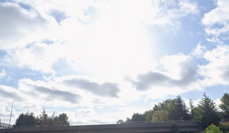
Friday, July 3, 2026 — New Orleans woke up to the kind of morning that feels like walking into a sauna, with readings near 81°F at the airport and thick humidity along the river. The National Weather Service is calling for a high near 92°F today, with a slight chance, about 20%, of showers and thunderstorms between 1 p.m. and 5 p.m. East winds should stay light, so any afternoon cells that do pop up could linger and drop brief heavy downpours.
Afternoon Thunderstorm Threat
Expect classic hit-or-miss summer storms this afternoon. Most neighborhoods will likely stay dry, but a few unlucky spots could see a quick burst of heavy rain that sharply cuts visibility on the roads. If you have a late-afternoon commute or outdoor plans, build in some extra time and keep an umbrella or a nearby shelter option in mind.
Independence Day Plans
Tomorrow, Saturday, July 4, downtown riverfront fireworks are scheduled for about 9 p.m., and the weather may try to crash the party. Spotty storms could briefly affect viewing, so arrive early and have a backup hangout spot if you are staking out a riverside perch. Forecasters are also flagging heat-index values that could climb near 105°F on the holiday, so bring water, find shade and have a plan to cool down. Event information is available at Go 4th on the River.
Weekend Outlook
Rain chances go up on Sunday into Monday, with showers and thunderstorms likely, around a 70% chance, during daytime hours. Forecasters are also watching for the potential of waterspouts over coastal waters. Mariners should be ready for winds to pick up and for seas to turn locally hazardous, check marine updates before heading out and avoid on-water plans if storms are nearby.
Plan Ahead
For this holiday stretch, think survival kit: water, shade and a compact umbrella, and head indoors at the first sound of thunder. For background and yesterday’s pre-holiday update, see our earlier forecast: yesterday’s steamy storm outlook.


