

























































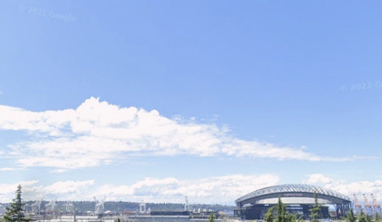
Seattle woke up to mostly clear skies on Tuesday, July 7, 2026, with morning temperatures in the mid‑50s and an afternoon high near 77°F on tap. A breezy onshore flow will ramp up through the day, with the strongest gusts aimed at the central Sound and west‑facing beaches.
Afternoon Winds and Marine Hazards
The National Weather Service has issued a Gale Warning for the Central Strait of Juan de Fuca from 2 PM Tuesday, July 7 through 8 AM Wednesday, July 8, along with small craft advisories for Admiralty Inlet and parts of the central Sound. Mariners should be ready for gusts in the low‑end gale range, choppy seas, and steep, short‑period waves. Portions of the outer coast may see seas build to 6–8 feet on Wednesday and Thursday. That warning comes from the National Weather Service Seattle.
Sun in the City, Cooler Next Day
Away from the marine action, Seattle and nearby inland neighborhoods get the pleasant side of the pattern: mostly sunny skies and a high around 77°F this afternoon, slipping a few degrees into the early evening. Overnight lows land in the mid‑50s. By Wednesday, July 8, the onshore flow strengthens and daytime highs cool to around 72°F. Showers look unlikely and thunderstorms are not expected over the next few days.
What To Do
If you are catching a ferry or taking a small boat out this afternoon or evening, plan on a rougher ride and check for operator advisories before you go. Gusty conditions can turn unsecured gear and casual beach launches into headaches in a hurry. West‑facing parks and piers will feel the brunt of the wind, so give the waterline some space and secure any lightweight items. Fire danger stays low thanks to the marine air streaming in, so outdoor gatherings should not be affected by red flag concerns.
More Context
We flagged the warm start to the week yesterday; this update layers on the new marine headlines and a clearer window for the strongest gusts. See our look at the warm start to the week for background on the pattern shift that is cranking up those westerlies. Keep an eye on the National Weather Service feed for any changes to the marine advisories through Wednesday night.



