

























































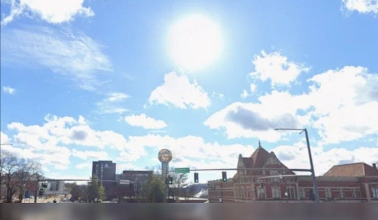
Knoxville is waking up to a steamy start on Monday, July 20, with mostly clear skies, low 70s on the thermometer, and dew points high enough to make it feel downright sticky. Temperatures are expected to climb to around 90 this afternoon, with the heat index pushing into the upper 90s. Scattered showers and thunderstorms could pop up after mid-afternoon.
Afternoon Storms Possible
Some hit-or-miss showers and storms may develop after 2 p.m., but plenty of spots may only see a quick downpour, if anything at all. According to the National Weather Service, the chance of rain sits around 30 percent. Any stronger cell that does fire up could bring gusty winds and pockets of heavy rain. Most areas should stay under a tenth of an inch of rain, unless storms repeatedly track over the same neighborhood.
Stronger Line Possible Tuesday Night Into Wednesday
The real weather troublemaker looks to arrive Tuesday night into Wednesday, July 22, as a stronger cold front pushes through the region. Forecasters say this system could spin up a more organized line of thunderstorms, raising the risk of damaging wind gusts and localized flash flooding. The National Weather Service notes that the highest threat appears to be east of I-75 and that the exact timing of the line will play a big role in how intense the storms get. Behind the front, cooler and less humid air should settle in by Thursday.
How This Could Affect Your Plans
If you have outdoor plans Tuesday evening or early Wednesday, it is worth sketching out a backup plan in case storms roll through during your event. Brief but intense downpours could trigger street flooding and seriously cut visibility on area roads for a time.
For today, limit strenuous outdoor activity during the hottest part of the afternoon, stay hydrated, and keep an eye on radar if you will be outside when those scattered storms could develop.
This story will be updated if any watches or warnings are issued. In the meantime, follow local officials and media, and keep checking the National Weather Service for the latest changes to the forecast.



