

























































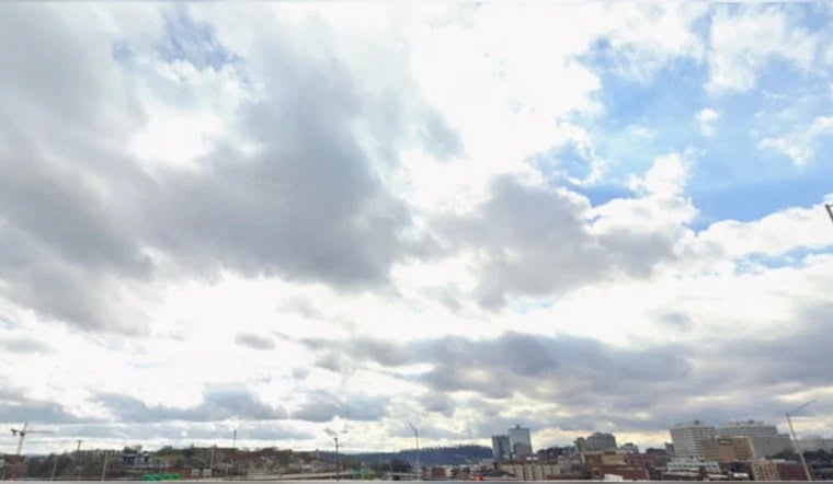
Knoxville is starting Friday, July 24, 2026, on the sticky side, with cloudy skies, temperatures near 74°F, and dewpoints lounging in the low 70s. It will feel every bit as muggy as that sounds. The high should reach around 86°F, and scattered showers and thunderstorms are most likely from late morning into early afternoon. Any stronger cells could drop brief heavy downpours, leading to ponding on local roads and cutting visibility during the midday commute.
Afternoon Rain And Local Flood Risk
Light rain is possible before 11 a.m., with showers and thunderstorms most likely between 11 a.m. and 2 p.m. Overall rain chances sit near 40%. Most of what falls should be on the lighter side, but a few stronger storms can quickly unload heavier bursts of rain. The main concern is localized flooding in low-lying or poor-drainage spots and in the East Tennessee mountains, where recent heavy rain has left soils saturated, according to the National Weather Service in Morristown. If you see water covering the road, turn around and find another way, and never try to drive through moving water.
Travel And Outdoor Plans
Plan on a soggy lunch hour and build in a little extra travel time if you are heading out, since short, intense downpours can slow traffic and wash over underpasses. Outdoor events and yard work are most at risk of a soaking from late morning into early afternoon, so the safer bets are earlier in the morning or later in the day. Keep an umbrella or rain jacket close and keep an eye on the sky for storms that bubble up quickly.
Weekend Outlook
Rain chances ease as the weekend arrives. Saturday should be partly sunny with about a 30% chance of morning showers and a high near 85°F. Sunday looks a bit drier with highs near 88°F and only a small risk of an early-morning shower. By Monday and Tuesday, temperatures climb into the low 90s while the humidity hangs on, and a few isolated afternoon storms are still possible. Forecasters highlight a general shift toward warmer and less wet conditions for much of next week in their latest update, according to the NWS Morristown discussion.
Bottom line: carry rain gear, avoid low-water crossings, and plan on wet roads around the midday drive. Check official forecasts later today for any quick updates if storms start to organize.





