

























































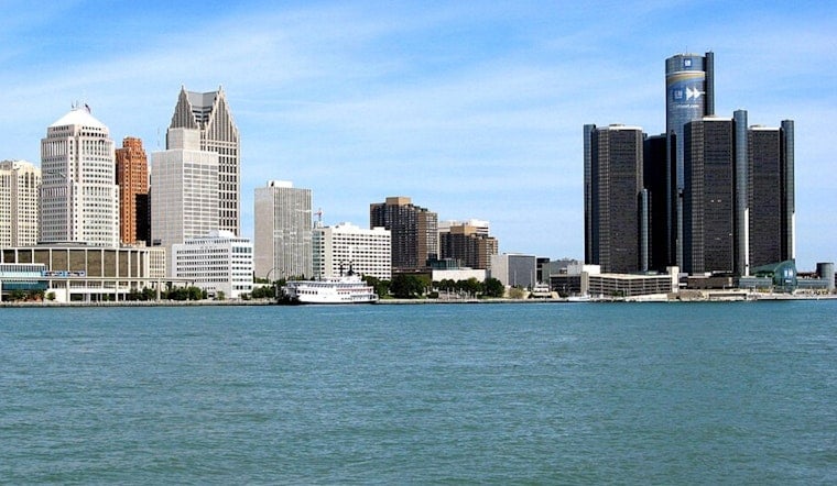
Today, Detroit rolled into the day under a cool, gray sky, with temperatures hovering near 61°F at local observing sites. Clouds should thin out by mid-morning, letting the sun take over and bump afternoon highs into the mid-70s, a sweet spot for anyone trying to squeeze in outdoor plans without breaking a sweat.
Afternoon And Weekend Outlook
This afternoon looks mostly sunny, with a high near 75°F and a north-northwest breeze around 10 mph that could gust up to 25 mph. Tonight, skies stay mostly clear and temperatures slip back to around 56°F, with some outlying areas away from the urban core turning noticeably cooler before daybreak.
The mild stretch does not last all week, though. Temperatures climb heading into the weekend, with highs around 85°F on Saturday and near 88°F next Sunday. The next shot at showers and thunderstorms arrives late Saturday night into next Sunday, according to the National Weather Service Detroit.
Marine And Beach Notices
Out on the water, it is not quite as laid back. Small Craft Advisories remain in effect for near-shore areas of Lake Huron around the Thumb and Saginaw Bay, and a Beach Hazards Statement is posted for parts of the shoreline. Higher waves and gusty northwest winds will make swimming and small-craft outings hazardous today, according to the forecast discussion from NWS Detroit.
What This Means For Your Plans
If you are heading out early, a light layer will come in handy in the cool morning air, and it would not hurt to secure any loose lawn furniture or patio items in case of gusty winds. Morning commutes stay crisp but comfortable. By the weekend, plan for a much warmer feel if you have outdoor events, errands, or lake time on the schedule.





