

























































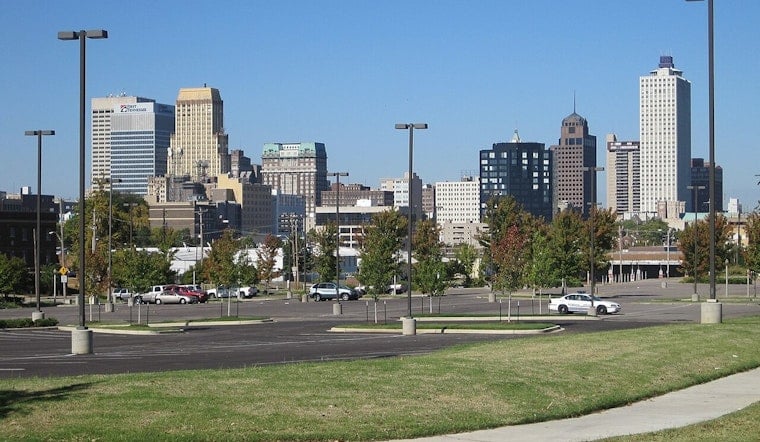
Memphis is starting Wednesday, July 29, clear and already near 84 degrees, with a hot, humid afternoon ahead. The high is expected to reach 93, while the heat index could climb to 107 before a few showers or thunderstorms fade by early afternoon.
Rain chances peak around 30% before 2 p.m., and new rainfall should generally stay below a tenth of an inch. North-northeast winds near 5 mph will offer little relief, so anyone spending time outside should take breaks, drink water and avoid treating a partly sunny sky as a free pass from the heat.
Sunny Thursday Gives Way To Friday Storm Chances
Thursday looks calmer, with sunny skies, a high near 93 and an overnight low around 73. Friday begins mostly sunny with another high near 93, but a slight chance of showers and thunderstorms arrives after 1 p.m., increasing to a 50% chance Friday night.
Weekend Brings Cooler Air And More Rain
Saturday carries a 50% chance of rain, with possible showers early and a slight chance of thunderstorms later under mostly sunny skies. West winds will increase to 10 to 15 mph, while the high reaches about 90 before temperatures ease to around 72 Saturday night.
Sunday should be mostly sunny and cooler, topping out near 86 degrees. The forecast keeps highs in the upper 80s to around 90 through Tuesday, with additional afternoon and evening storm chances Monday and Tuesday as the week settles into a less oppressive pattern.





