

























































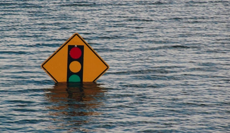
Thursday, July 16 is serving up a sticky, partly cloudy afternoon across Phoenix, with Sky Harbor reporting roughly 88°F as monsoon moisture streams into the valley. A Flood Watch is in effect from 2 p.m. Thursday, July 16 through 5 a.m. Friday, July 17 for the Phoenix metropolitan area, with heavy downpours and localized flash flooding possible, especially where storms keep training over the same neighborhoods.
What To Expect This Afternoon And Evening
Showers and thunderstorms are expected to become more widespread late Thursday into Thursday night, with the heaviest rain targeting northern Pinal and southwest Maricopa counties. Forecasters say storms could produce rainfall rates of 2–3 inches per hour and new totals of a quarter to a half inch in many spots, with locally higher amounts where storms stall or train. Drivers and anyone caught outside should be ready for gusty outflow winds, sudden poor visibility in downpours, and flooding in low-lying or poor-drainage areas, according to NWS Phoenix.
Timing And Local Impacts
Storms may bubble up this afternoon, then become more organized into the evening, with the most significant activity expected after sunset and into the overnight hours. If you are driving, slow down and avoid flooded intersections, since even a few inches of water can stall a vehicle, and low-water crossings can be deceptively deep. Anyone with outdoor plans should have quick shelter options and be ready for delays or cancellations as storms roll through.
Cooler Friday, Then A Drier Weekend
High temperatures should top out near 102°F today but are forecast to drop into the low 90s on Friday as lingering showers and clouds keep the valley a bit cooler. Monsoon activity should ease by Saturday, with scattered storms favoring higher terrain rather than the lower desert. For more on the heat and monsoon setup earlier this week, see how a brutal heat wave bears down. Keep an eye on updates this afternoon and avoid driving through flooded roadways.




