

























































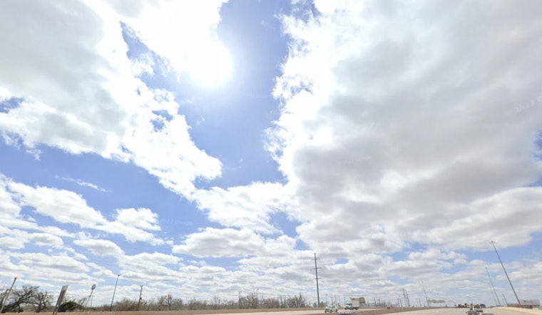
Oklahoma City woke up Friday, July 17 under a gray, mostly cloudy blanket and a muggy 72°F at Will Rogers World Airport. A slight chance of showers and thunderstorms early will give way to a better shot across parts of the metro this afternoon, with a high near 88°F and breezy south winds in the mix.
Afternoon Storms, Gusty South Winds
Scattered showers and thunderstorms remain on the table before late afternoon, and any stronger cell could bring a quick burst of heavy rain and gusts up to about 23 mph. Forecasters are putting the metro's chance of precipitation today broadly between about 20 to 34%, with most new rainfall totals staying under a quarter inch. Most of the action should wind down around or just before sunset, according to the National Weather Service in Norman.
Heat Builds Into Weekend And Next Week
The break will not last, with highs climbing into the low 90s on Saturday (near 92°F) and pushing into the mid 90s Sunday. By Monday and Tuesday, forecasters are calling for readings near 99°F to as high as 102°F, with heat-index values that could feel like 100 to 110°F. We flagged this warming trend in our July 14 forecast, and the newest guidance shows the ridge strengthening over the Plains.
Heat Safety And Local Resources
If you need relief from the heat, call 2-1-1 or check the City of Oklahoma City's Extreme Heat hub for cooling-center locations and assistance programs. The city also notes that regulated utilities must suspend disconnections when the National Weather Service forecasts or observes a heat index of 101°F or higher, so customers facing shutoff should ask about payment arrangements or protections. Keep pets and outdoor workers hydrated, limit strenuous activity during peak afternoon hours, and plan events for morning or evening when possible.
Quick takeaway: grab a light rain jacket for those afternoon errands, but start planning for much hotter afternoons into next week. Keep an eye on the forecast and your water bottle if you will be outside during the peak afternoon heat.





