

























































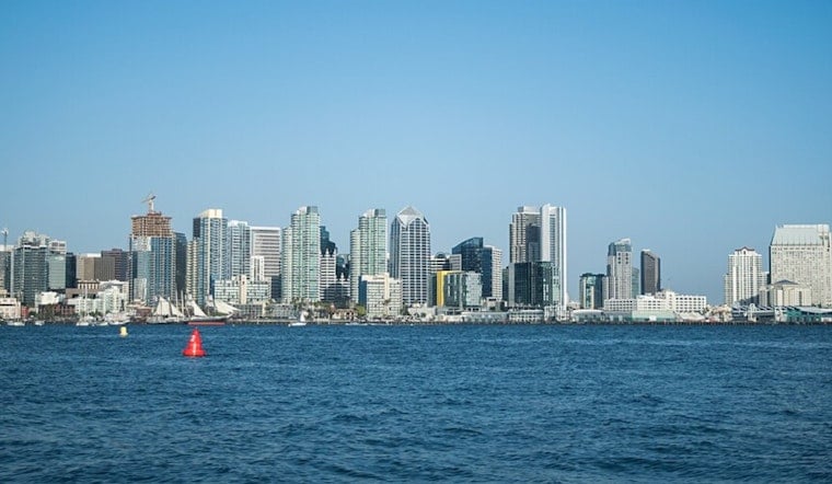
San Diego woke up sticky and gray today, with clouds hanging over the bay and temperatures hovering around 70°F at San Diego International Airport as of 5:35 AM. Inland highs are expected to top out near 81°F this afternoon. Morning low clouds should thin and push inland by midmorning, setting up mostly sunny afternoons across the city. Light southwest winds will keep nights on the muggy side, with lows around 69°F.
The National Weather Service San Diego has a Heat Advisory in effect for coastal areas through 8 PM next Monday and a Beach Hazards Statement through next Sunday evening. Forecasters are calling for mid 80s to lower 90s on the higher coastal mesas, along with a south swell driving 3 to 6 foot surf and occasional sets up to 7 feet. That one-two punch raises the risk of heat-related illnesses and strong rip currents, and evening high tides near 6.0 to 6.5 feet MLLW could bring minor coastal flooding at low-lying access points. Officials are urging people to drink plenty of fluids, stay in air-conditioned spaces when possible, and avoid entering the ocean except at lifeguarded beaches.
Where To Find Cool Air
San Diego County maintains a network of Cool Zones - air-conditioned libraries, community centers and recreation sites - for residents looking to escape the heat. A full list is available from the county. Walk-in options include Azalea Recreation Center at 2596 Violet Street and Pacific Beach Recreation Center at 1405 Diamond Street. People who need help getting to a site can call 2-1-1 for assistance, according to San Diego County. Residents are also encouraged to check on neighbors, limit strenuous outdoor work during the warmest hours, and keep pets and children out of parked cars.
Beach Hazards This Weekend
South-facing beaches will take the brunt of the swell, with the highest surf and the strongest rip currents, and lifeguards warn that even strong swimmers can be pulled out. If you head to the coast, swim only near a lifeguard stand, obey posted flag warnings, and remember to float and signal for help if you get caught in a rip current instead of trying to muscle straight back to shore. With minor shoreline flooding possible during evening high tides, it is also smart to avoid leaving valuables or vehicles in low beach access areas.
Temperatures are expected to linger near the low 80s through midweek, with a slight cooldown possible around next Wednesday, followed by another warm stretch late next week. Mountain and desert zones may see isolated afternoon thunderstorms later in the week. Keep an eye on updates from the National Weather Service and try to schedule outdoor plans for the coolest parts of the day.



