

























































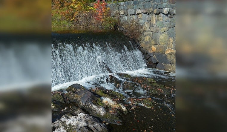
Excavators are now chewing through the concrete spillway at South Natick’s 1934 dam, and the Charles River that once pooled quietly behind it is already carving a fresh path. Neighbors have been lining the banks to watch water levels drop and a long-hidden muddy riverbed emerge, while early wildlife sightings have residents talking about just how fast the ecosystem might bounce back. The demolition is the most visible stage in a multi-year effort to trade the familiar mill pond for a free-flowing reach of the Charles through Natick.
How crews are taking it down
Spillway demolition started on July 23, following a controlled mid-July drawdown that lowered the water behind the dam. According to the Town of Natick, in-water work kicked off in mid-July, and contractors built a temporary access road behind the spillway so heavy equipment could get in position for removal. WGBH reported that crews are working with a hydraulic hammer, and that park access and river use around the site will be curtailed while demolition is underway.
Voices on the river
“Once it's level, when we have good rain and all that, hopefully, it'll be a good, vibrant river again,” said Ken Van Blarcom of Natick’s Recreation and Parks Commission, watching the changes unfold. Lisa Kumpf of the Charles River Watershed Association told NBC Boston that taking out the structure will “open up one of the largest free-flowing sections of the river,” and said she expects the channel to look “pretty typical” again within three to five years. On the riverbank, some locals have shown up to say goodbye to a landmark, while others have staked out spots to watch what they see as a long-awaited restoration.
Why environmental groups backed removal
For years, advocates argued that the aging mill pond cut off fish passage, trapped sediment and knocked water quality down a notch. The Charles River Watershed Association has listed the South Natick dam among its top candidates for removal within the watershed. In a CRWA press note, the organization welcomed recent state grants that included $250,000 for the Natick project, part of a broader push to take out defunct dams and bolster river resilience. That combination of safety, environmental and funding arguments helped move the proposal forward after extended local debate.
Timeline, cost and what comes next
Town documents outline a tight schedule: mobilization and drawdown in June and July, spillway removal from July into August, followed by site restoration in the fall, and post-construction sediment monitoring running through September 2028. A Select Board memo issued last year pegs the construction scope at about $1.19 million, including contingency and design work, consistent with the town’s project documentation. While construction is active, the town says sections of Old Town Park and nearby riverfront spots will be closed, and on-river recreation in that reach will be limited.
History and local reaction
The current dam structure, rebuilt in 1934 as part of Depression-era public works, has a documented history of periodic failures and flooding that raised both safety and budget concerns. WGBH described neighbors lingering along the river, some of whom once planted “Save the Dam” signs in their yards, even as town leaders emphasize that removal cuts long-term risk and maintenance obligations. Officials say they also intend to coordinate with local historical organizations and Indigenous partners to make sure the site’s story is documented as the landscape shifts.
What restoration looks like
Ecologists say taking out the barrier should reconnect river and stream habitats, improve fish movement and reduce the stagnant conditions that can fuel harmful algal blooms. Residents have already reported wildlife returning quickly. “The first day after they drained the reservoir, we saw a black-crowned night heron,” one witness told NBC Boston, a kind of early signal that species are responding to the new flow. Town and state agencies plan to track sediment and habitat changes as the Charles settles into its reshaped course.
In the short term, neighbors can expect plenty of noise, mud and construction fencing as crews finish breaking up concrete and move into bank and park restoration. The longer arc will play out over years of monitoring, habitat work and redesign of public spaces. The town is posting ongoing construction updates and documents online, and regional news outlets are following the project, so residents can keep an eye on local government pages and coverage for current closure notices and restoration milestones.





