

























































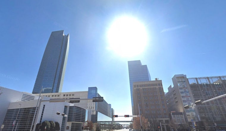
Oklahoma City is starting the day under clear skies and a warm 75°F at Will Rogers World Airport, but the real heat is still on the way. By Friday, July 10, afternoon highs are expected to spike to around 98°F, with the heat index pushing close to 100°F. South-southwest winds will strengthen into the teens with gusts into the twenties, so it is a good idea to secure loose outdoor items and knock out any heavy outdoor work during the cooler morning or evening hours.
Afternoon Heat, Gusty Winds And Weekend Storms
The National Weather Service office in Norman expects a hot, breezy Friday with south-southwest winds of 12 to 15 mph and gusts up to 23 mph, along with heat-index readings near 100°F. Forecasters say a few scattered showers or storms could pop up this afternoon and tonight, but the bigger storm window arrives Saturday, July 11, as a boundary moves through the region. Showers and thunderstorms, especially Saturday night, may become more widespread, and a few storms could turn strong to severe with gusty winds and hail. Anyone with outdoor plans should keep a close watch on updates and be ready to move indoors if storms build quickly.
Cooling Resources And Legal Notes
For residents without reliable air conditioning, the City of Oklahoma City operates an Extreme Heat hub that lists public cooling centers and offers safety guidance; you can also dial 2-1-1 to locate nearby options. The city advises that utilities may pause disconnections when heat-index readings reach roughly 101°F, an important consumer protection during stretches of dangerous heat. Simple precautions such as drinking plenty of water, skipping strenuous activity during the hottest midday hours, and checking on neighbors, pets, and anyone who is medically vulnerable can significantly cut the risk of heat-related illness.
What To Expect Next
Saturday, July 11, should be a bit less blistering with a high near 96°F, though the tradeoff is a higher chance of afternoon showers and thunderstorms, and a 60% chance of showers and storms Saturday night. Overnight lows will hover in the mid-70s. On Sunday, July 12, temperatures are expected to top out near 93°F with more storm chances in the mix, and highs should ease back into the low 90s early next week. For weekend events and the Monday commute, plan around heat this afternoon and be prepared for quick-hitting storms Saturday night that could snarl traffic or force last-minute cancellations.





