

























































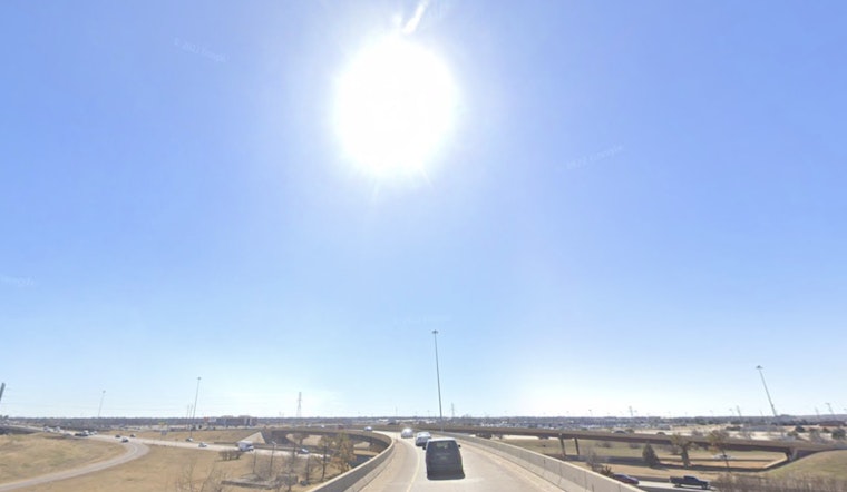
Oklahoma City started Friday, July 24, 2026, under clear but soupy skies, with morning temperatures already in the upper 70s and humidity to match. A Heat Advisory is in effect from noon to 8 p.m. CDT as a steady southerly flow cranks up the heat index into the triple digits.
Dangerous Afternoon Heat
Afternoon highs are expected to reach about 96°F, with heat-index values climbing as high as 105°F. South-southeast winds of 9 to 13 mph, with gusts near 20 mph, will offer only limited relief. According to the National Weather Service in Norman, the advisory is in place because “hot temperatures and high humidity may cause heat illnesses.” That mix turns outdoor work, sports and any long stretch in the sun into a health risk during the advisory window.
Weekend Outlook
The ridge of high pressure keeping this air mass parked over the Plains is not going anywhere fast. Saturday’s forecast tops out near 100°F, with heat-index values that could reach about 109°F, and Sunday holds around 101°F. Forecasters expect the dangerous heat to hang on through early next week, with overnight lows stuck in the upper 70s instead of offering much relief. Event planners and anyone working outside will want to keep one eye on the thermometer and another on updates in case conditions warrant an upgrade to an Excessive Heat Warning.
Where To Find Relief
Residents who need a cool place to ride out the worst of the afternoon can call 2-1-1 or check the City of Oklahoma City heat hub for current lists of cooling centers, pools and other relief options. The city provides tips on staying hydrated and checking on vulnerable neighbors, and public pools and spraygrounds are often highlighted as temporary escapes during advisories. If you have to be outdoors, bring water, skip alcohol and heavy meals, and move strenuous activity into the early morning or later evening hours.
Storms Tonight, But Heat Still Main Concern
There is a slight chance of showers and isolated thunderstorms late tonight into Saturday morning, with the potential for brief gusty winds. Rainfall amounts are expected to be light, so any storms are unlikely to put much of a dent in the overall heat. Friday night’s low will hover near 79°F, which means limited cooling and continued heat-related risks for anyone without air conditioning. Before heading out, keep an eye on local forecasts and any updated heat advisories.





