

























































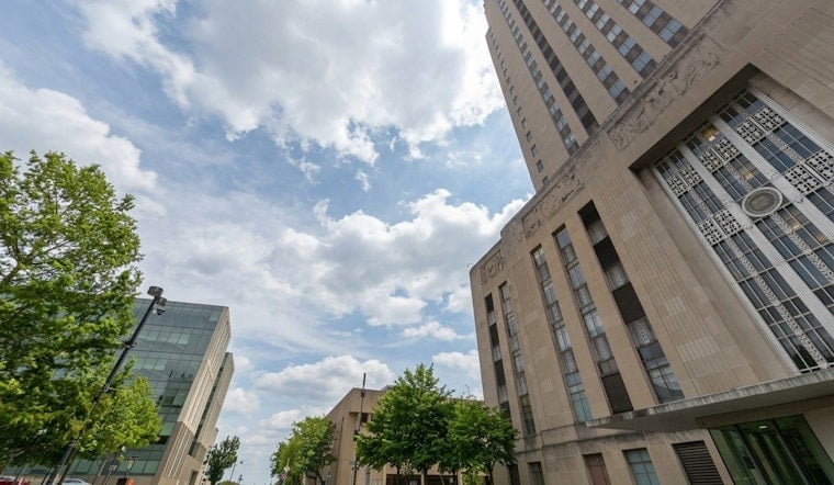
Kansas City started Thursday under mostly cloudy skies with mild temperatures and light east-southeasterly winds. Forecasters expect skies to stay mostly cloudy through the day, with just a few scattered afternoon showers possible. The main story is still a more organized round of rain late Thursday night (July 23) into Friday morning (July 24), bringing the best shot at a steady, soaking rain across the metro. That could mean a soggy Friday morning commute and localized flash-flood issues where storms stall out.
Tonight Into Friday
Through this morning, showers are most likely along and west of I-49 and I-29, while much of the Kansas City metro may stay dry into the afternoon because the air is still relatively dry. According to the National Weather Service, a more organized complex of showers and thunderstorms is expected to develop after midnight and move into the area between roughly 3 a.m. and mid-morning on July 24. Drivers should be ready for wet roads and reduced visibility during Friday's peak commute.
Rain Amounts And Flood Risk
Most spots are projected to pick up a few tenths of an inch to around an inch of rain, but narrow corridors of heavier storms could produce 2-4 inches in isolated locations. Where those heavier bands set up, rain rates could be high enough to trigger rapid runoff and brief flash flooding on streets with poor drainage. If you run into standing water, turn around and do not drive through it.
Friday Timing And Impacts
Showers and thunderstorms are most likely before about 3 p.m. on Friday, with some additional on-and-off rain possible into the evening as the system weakens. Southeast winds should remain generally light, so the bigger concern is how much rain falls rather than wind damage. If you have outdoor plans Friday, it is smart to line up a wet-weather backup or move events indoors where you can.
Weekend Heat Returns
Once the clouds and rain clear out, temperatures bounce back in a hurry. Saturday's high is expected to be in the upper 90s, then the heat jumps Sunday and Monday with highs near 9798F and heat indices topping 100110F. That kind of rebound could prompt a Heat Advisory later in the weekend if current trends hold, so it is worth monitoring forecasts before planning extended outdoor time. Lean on shade, plenty of water, and indoor breaks during the hottest hours.
Plan Ahead
Charge your phones, give yourself extra time for the Friday morning drive, and steer clear of low-lying roads that are known to flood. If you are sensitive to heat, consider using public cooling centers or libraries, and call 2-1-1 to locate nearby options. Keep an eye on local forecasts for any updates or warnings as the system evolves.
For background and earlier context, see our cool start, stormy finish setup from July 22; this page will be updated if the forecast changes.





