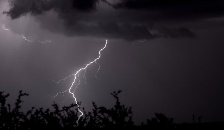
Thunderstorms rolled through western Massachusetts late Thursday, jolting the region with a severe thunderstorm warning that stretched across much of the Connecticut River valley. The National Weather Service warned that the line of storms could kick up damaging straight-line winds and drop small hail strong enough to knock down branches and dent vehicles. The alert ran through midnight and had local meteorologists telling people to head inside and wait it out.
Where the warning hit hardest
As reported by Boston 25, the warning zone covered a long list of communities, including Springfield, Chicopee, Holyoke, Amherst and Northampton. It also stretched into neighboring towns from Ludlow and South Hadley to Southbridge and Belchertown. Portions of Hampden, Hampshire and Worcester counties were included, affecting both city centers and smaller river-valley towns along the way.
What forecasters were watching
According to the National Weather Service, storms in the line were capable of producing wind gusts up to 60 mph along with penny-sized hail. The bulletin warned residents to expect possible damage to trees and power lines. Forecasters also flagged a fast-moving storm near Warren that was racing east at roughly 40 mph when the warning went out.
Why the storms packed a punch
The late-week thunderstorms fired up in the middle of an ongoing heat event across southern New England, a setup that local forecasters say can crank up storm intensity, per NBC Boston. The Storm Prediction Center's Day 1 outlook also mentioned a line of storms sagging south from Quebec that could bring isolated strong to severe wind gusts to parts of the Northeast.
How to track the storms and stay safe
Residents are urged to keep an eye on up-to-the-minute radar and local forecasts, and to track any outages through the Massachusetts Emergency Management Agency. MEMA's real-time outage viewer is available at the Massachusetts Emergency Management Agency outage viewer. Officials recommend moving to an interior room on the lowest floor, steering clear of windows while storms move through and avoiding driving on roads littered with debris.
Forecasters expected the line to gradually weaken as it pushed offshore later in the night, but warned that isolated cells could still knock out power and bring down trees in spots. Anyone who loses power is advised to report the outage to their utility and use extreme caution around any fallen lines. For the latest updates, residents should continue following local weather teams and the National Weather Service.


