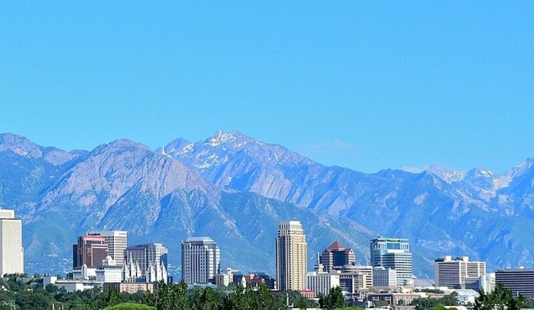
Salt Lake City wakes up Friday, July 3, to clear skies and a fast warm-up, with afternoon highs expected to land near 91°F and very little humidity to take the edge off. Overnight lows will linger in the mid-60s, so once the sun goes down, the cool-down will be limited before temperatures climb again into the holiday weekend.
Afternoon Heat And Thunder Risk
Mostly sunny skies will rule Friday, July 3, with highs close to 91°F and light south winds developing in the afternoon. A few isolated, high-based showers or thunderstorms could pop up across northern Utah and the western Uintas Friday afternoon and evening, with gusty outflow winds the main concern, according to the National Weather Service. Humidity will stay low, with relative humidity values dropping into the teens in many valley spots, so the heat will feel dry and can be especially tough on anyone working or playing outside for long stretches.
Holiday Weekend Heat
Independence Day on Saturday, July 4, turns up the thermostat even more, with highs near 95°F, and Sunday, July 5, is poised to push into the upper 90s as a ridge strengthens overhead. Rain chances stay slim across most of the valley, so parades and fireworks will be battling heat instead of downpours. For anyone who needs to cool off, Salt Lake County lists public cooling sites, including the Weigand Center; check the county's Cool Zones page for specific locations and hours.
What This Means For Your Plans
Because overnight lows only dip into the mid-60s to low-70s, the area is looking at a string of hot afternoons followed by warm nights through early next week. Shift strenuous plans to early morning or late evening when possible, and keep water handy. The National Weather Service also notes that increasing midlevel moisture Monday and Tuesday could trigger scattered high-based storms that bring dry lightning and gusty outflow winds. Storm coverage should stay limited, but any lightning over dry terrain could spark fires. Be extra careful with fireworks and open flames on slopes, and check local burn rules before lighting anything up.
More From Hoodline
We first flagged this warming trend in our July 1 coverage, and today's update points to slightly hotter peak temperatures over the holiday stretch and a growing chance for heat impacts early next week. For more background on fire-weather concerns and heat-safety tips, revisit how heat builds and fire fears rise, as per Hoodline.


