

























































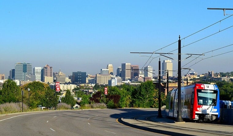
Salt Lake City woke up mostly cloudy and about 75°F on Thursday morning, July 23, and it is only going up from here. The valley will warm into the mid-90s today before a much hotter stretch begins Friday, with highs expected to top 100°F through the weekend. Overnight lows will only slip into the mid-to-upper 70s, which means not much relief after sunset.
Thursday
Drier air moving in will keep most of the valley dry and sunny on Thursday, July 23, with a high near 94°F. There is only a slight chance of showers or thunderstorms early in the day, and winds will be light, according to the National Weather Service.
Heat And Cooling Options
Southerly flow redevelops Friday, allowing monsoonal moisture to return and sending daytime highs into the triple digits by Friday, July 24, and again over the weekend. Salt Lake County maintains a list of Cool Zones, which are public libraries, senior centers, and recreation centers where people can find air conditioning and water. The county page lists sites including the Weigand Center at 437 W 200 S and the Salt Lake City Public Library.
Weekend Storms And Flood Risk
The combination of heat and incoming moisture will favor afternoon storms Friday through Sunday. Any storms that form could be slow-moving and produce heavy, localized downpours with a renewed flash-flood threat in parts of central and southern Utah and areas east of I-15. Avoid dry washes and low-lying roads during heavy rain and monitor conditions if you live in canyon drainages.
Bottom Line
Shift strenuous outdoor activity to morning or evening, carry water, check on neighbors and pets, and head to a county Cool Zone if your home lacks reliable air conditioning. For the latest watches, warnings, and hourly updates, monitor the National Weather Service and Salt Lake County resources.





.jpg)