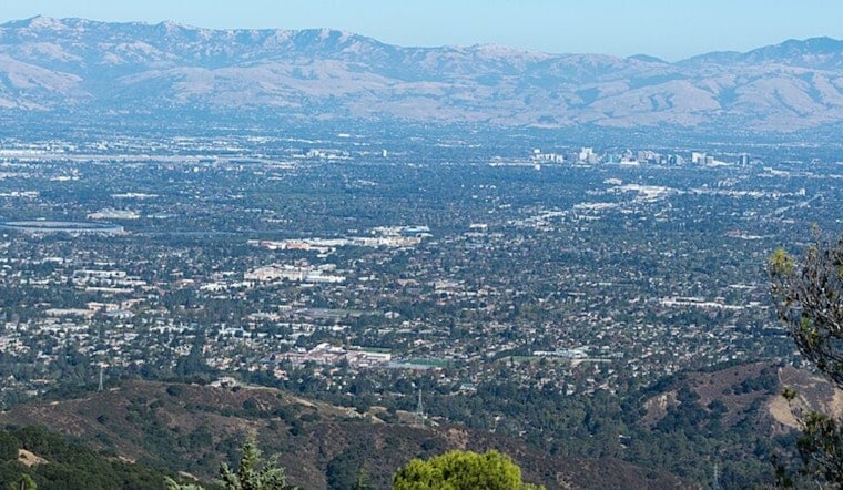
San Jose woke up today to mostly clear skies and an inland warm‑up that should nudge neighborhoods into the low 80s by late afternoon, while the coast keeps its cool under lingering low clouds. Coastal spots stay milder, nights slip back into the mid‑50s, and light south‑southwest breezes will kick up briefly this afternoon before easing after sunset. All in all, it is a comfortable lead‑in to the holiday weekend for most outdoor plans.
Today Through The Weekend
Sunny conditions are on tap across the South Bay today with a forecast high near 81°F and an overnight low around 55–56°F. Tomorrow edges a bit warmer with highs near 83°F. The warming trend continues into the holiday weekend, with Independence Day on Saturday, July 4, forecast near 84°F and some inland pockets reaching the mid‑ to upper‑80s. Coastal communities south of Pacifica will keep waking up to a persistent marine layer each morning and cooler daytime readings. These forecast details come from the National Weather Service.
Coastal Fog And Marine Advisories
Expect a familiar pattern of foggy mornings that mix out by late morning, giving way to sunny afternoons inland, with stratus redeveloping overnight and into tomorrow morning. Out on the water, Small Craft Advisories remain in effect, including for Point Arena to Point Reyes through 3 PM tomorrow and for Pigeon Point to Point Pinos until 9 AM, with seas expected to run moderate to rough into the weekend. Check the National Weather Service discussion for the marine timing and advisory details.
What This Means For Plans
The stretch is mostly made for parades, backyard barbecues and hikes. Aim for the afternoon if you want the warmest, sunniest window, and bring a light layer if your plans involve the waterfront breeze. Boaters and small‑craft operators should check updated marine forecasts before leaving the harbor and follow posted advisories. No heat warnings are in effect for the South Bay, but inland neighborhoods will run noticeably warmer than the coast through next week.


