

























































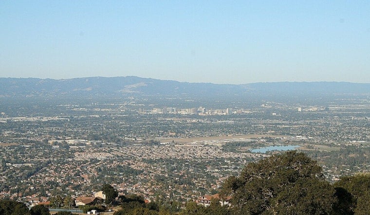
San Jose woke up under a gray blanket this morning with KSJC reporting about 57°F under low clouds and patchy fog. Inland neighborhoods should shake off the gloom by late morning, turning sunny with a high near 83°F in the city and even warmer numbers in the usual hot spots. Along the coast, though, expect it to stay much cooler and breezy.
Afternoon Sun and Inland Warm‑Up
Most South Bay spots should be basking in sunshine this afternoon, with highs around 83°F in San Jose and mid‑80s farther inland. Tomorrow is set to run a bit hotter near 87°F, with next Sunday nudging up to about 88°F. A broader warming trend continues into next week, and some inland areas may briefly flirt with 90°F. Moderate HeatRisk is expected Monday through Wednesday, so it is a good week to pace outdoor plans and keep the water bottle handy. Breezy afternoons will bring gustier winds through the usual gaps and valleys, according to the NWS Bay Area.
Beach Hazards Remain Through Friday
Out at the Pacific‑facing beaches, a Beach Hazards Statement stays in effect through this afternoon as a long‑period southwesterly swell stirs up sneaker waves and strong rip currents that can surge far up the sand. The advice is not subtle: stay off jetties, piers and rocks, and avoid swimming except at lifeguarded beaches. Even a mellow‑looking ocean can turn on you fast. For more on how nasty these conditions can get, see how sneaker waves turned the coastline treacherous in late June.
High Tide Flooding Possible This Week
Coastal Flood Advisories are posted for parts of the shoreline this week, with some stretching into mid‑July. High tides are forecast to run up to about 1.7 feet above normal on nights between tomorrow and next Tuesday. The NWS notes this includes roughly 3 to 6 inches of extra water from thermal expansion and accumulated sea‑level rise, which is enough to trigger minor flooding of parking lots, parks and low‑lying roads, with isolated closures possible. If you live or commute near the water, build in extra time and do not drive through flooded streets; those barricades are not suggestions, according to the NWS Bay Area.
Plan Ahead
Before you lock in a beach day or an all‑afternoon hike, keep an eye on updated forecasts. Thunderstorms remain a low‑probability but possible threat next Sunday into Monday, and any storms that do pop could bring dry lightning and gusty, erratic winds. Check local lifeguard advisories and tide forecasts before heading to the coast, and if you are working outside, lean on morning hours and frequent water breaks to ride out the inland warm‑up comfortably.





