

























































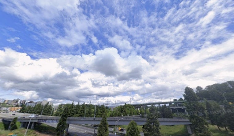
Seattle rolled out of bed to a cool, gray blanket of clouds Wednesday, with Boeing Field sitting near 63°F and that familiar damp marine feel in the air. Through the morning of July 8, 2026, skies will stay mostly cloudy, with inland spots warming to around 73°F while shoreline neighborhoods linger in the mid 60s. A weak onshore push will keep coastal areas cooler and kick up gusty conditions in the Strait of Juan de Fuca.
Morning Commute
Low clouds and patches of drizzle are on tap for the central Sound and the Kitsap Peninsula during the morning drive, but central Seattle neighborhoods should start seeing sunbreaks by midday. Seattle–Tacoma International Airport may see brief stretches of lower ceilings in the morning, improving to VFR by afternoon. For hourly timing and the latest tweaks to the forecast, check the National Weather Service.
Marine Conditions
Gale warnings are posted for the Strait of Juan de Fuca, with strong westerly winds expected this afternoon and again Wednesday. Small craft should plan accordingly. Choppy seas and gusty conditions are likely through the evening, with pockets of drizzle near more exposed shorelines. Mariners should stay on top of any changes by following the National Weather Service.
Weekend And Next Week
Onshore flow hangs around through the weekend, keeping western Washington on the mild side with only a slight chance of spotty showers in the Olympics and northern Cascades. Highs should run in the lower to mid 70s through Sunday, with a warmer trend into the low 80s inland early next week.
Plan Ahead
Layers are your friend: think cool, cloudy mornings and a brighter, warmer afternoon, plus a light jacket if you are spending time along the waterfront. Build in a little extra time for ferry crossings while low clouds stick around, and check marine advisories before committing to any plans on the water.



