

























































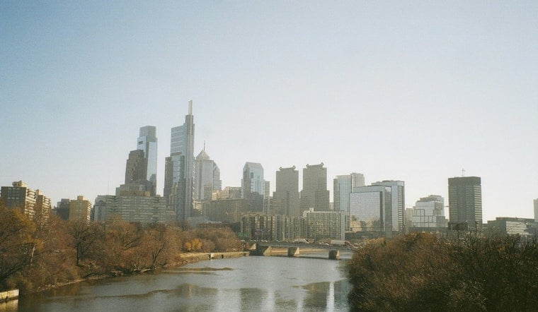
Philadelphia woke up Saturday under a murky, smoke-tinged sky, with mid-70s temperatures and swampy humidity that felt more like a steam room than a city morning. Officials are warning that the real show is still to come, with multiple rounds of showers and thunderstorms expected today and tonight that could snarl travel, soak neighborhoods and even spin up brief tornadoes.
Severe Storms And Flood Watch
A Flood Watch is in effect for Philadelphia and parts of the surrounding region from 10 a.m. through late Saturday night, with the National Weather Service calling for several rounds of thunderstorms across the area. Forecasters say storms this afternoon and evening could bring damaging straight-line winds and a few tornadoes, and some cells may dump 2 to 3 inches of rain in one to two hours, which is more than enough to trigger flash flooding in low-lying and urban spots. For the latest warnings and radar trends, keep an eye on updates from NWS Mount Holly.
Smoke And Air Quality
Smoke drifting in from Canadian wildfires is cutting visibility this morning and pushing fine-particle pollution into the unhealthy-for-sensitive-groups range across the metro. The Pennsylvania Department of Environmental Protection has issued a Code Orange Air Quality Alert for Philadelphia and nearby counties, so people with asthma, heart disease, older adults and children are urged to take it easy outside and avoid strenuous activity. For neighborhood-level readings and trends, check monitors such as AirNow and updates from the Pennsylvania DEP.
Commute And Outdoor Plans
Drivers can expect reduced visibility on the morning commute and pockets of brief sub-VFR conditions, with the most intense storms likely from late morning through the evening. Slow-moving downpours that hit the same spot more than once could quickly flood poor-drainage streets. Transit riders should keep an eye on SEPTA and regional rail alerts, and anyone behind the wheel is urged to avoid standing water. Turn around, do not drown.
On the water, Small Craft Advisories are up for ocean and bay zones, with gusts near 30 knots and seas running 5 to 6 feet. Small-boat operators are urged to use extra caution and seriously consider staying in port while the rough stuff moves through. Boaters can find marine-specific updates from NWS Mount Holly.
Short-Term Outlook
Rain and storms should wind down overnight into Sunday, with drier, sunnier weather in the cards for Sunday and Monday. Northwest winds behind the system are expected to help scour out lingering smoke and improve visibility and air quality. For context on the persistent haze and the heat earlier in the week, see our earlier coverage of the two day swelter. Keep your devices charged, stay tuned to local watches and warnings, and check back for updates as the storms evolve.





