

























































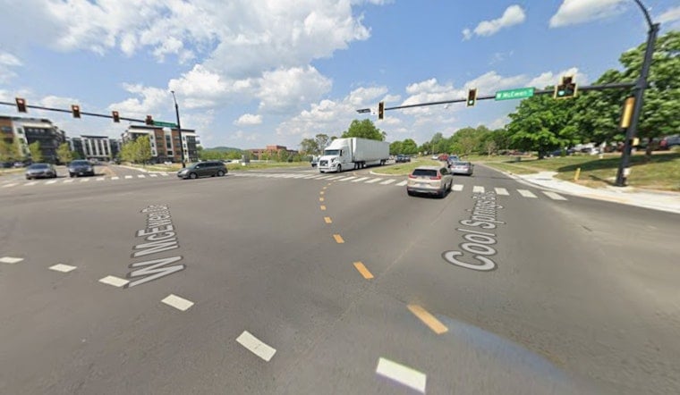
After years of talk and linework on planning maps, the long-discussed connector tying Williamson County's McEwen Drive and Cool Springs area to Smyrna through the Rocky Fork corridor finally has money behind it. Regional planners have signed off on funding to move the project into the region's long-range transportation program, creating a future continuous route to Interstate 24 that supporters say could ease cross-county commutes and open new development sites. The move showed up in updated regional documents that became public on July 15, 2026.
What the council approved
In regional planning records, the road is labeled the "Smyrna/Williamson County Connector," with the Town of Smyrna listed as the project sponsor. Staff for the Greater Nashville Regional Council, or GNRC, describe the work as a project "to construct new roads or widen existing roads connecting future interchange at Interstate 24 and Rocky Fork Road to Williamson county" and note that it would "typically include 4 lanes divided by median or turn lanes, curb and gutters, ITS improvements, and sidewalk or multi-use path," according to the GNRC. The same materials document the vote to amend the Transportation Improvement Program and to recommend the connector for inclusion in the region's funding plan.
Where it would run
The route is not just a local wish-list item. It also appears in state-level corridor planning, where TDOT's multimodal work lists the connector as project H-31 with endpoints at the future I-24 and Rocky Fork interchange and an McEwen Drive extension shown on regional maps. The TDOT I-65 Multimodal Corridor Study tags H-31 as a feasible improvement and sketches an approximate 12-mile corridor that would cross both Williamson and Rutherford counties, according to TDOT. Local TV coverage of the GNRC action aired July 15, 2026, including reporting by WKRN.
Cost and timing
Regional project lists supplied to GNRC set a target year of 2035 and carry a 2020 cost estimate of about $36 million for the connector itself, while a related I-24 interchange at Rocky Fork is shown at roughly $40 million, according to GNRC. Those figures come from the submission forms and appendix tables used to assemble the region's 2050 transportation plan. With the connector now officially programmed, the next expenses will fall under engineering, environmental review, and right-of-way acquisition, and the actual construction schedule will hinge on coordination with the state, local budget decisions, and any extra grant awards that surface.
Permitting and tradeoffs
Big roadway jobs in Middle Tennessee rarely move forward without state aquatic resource permits and commitments to offset stream or wetland impacts. Recent public notice records show TDOT projects in the region needing that kind of compensatory mitigation for interstate work, and similar expectations are likely here. The state's water-permit postings and agency files point to stream impacts and related mitigation tied to those highway efforts, suggesting environmental review will be a major piece of the connector's next phase, according to state public notices. As design moves forward, local officials will have to juggle drainage, greenway, or sidewalk features and pedestrian access with floodplain limits and habitat protection.
For drivers moving between Rutherford and Williamson counties, the connector could eventually offer a new through route that takes pressure off a small set of crowded arterials. None of that will be immediate, though. GNRC's vote shifts the road from a line on a conceptual map into an active engineering effort, which means residents should prepare for public meetings, environmental documents, and right-of-way talks before any dirt is turned. Meeting agendas and formal filings will reveal firmer timelines and funding milestones in the months to come.



