

























































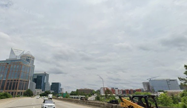
Charlotte woke up Friday (July 24) to light rain, low clouds, and the kind of muggy, near-saturated air that makes 67F feel a bit warmer than the thermometer suggests. Spotty showers will hang around through the day, with a better shot at heavier rain and isolated thunderstorms late Friday into early Saturday.
Rain Timing And Flood Risk
Showers and thunderstorms remain possible through Friday afternoon, with temperatures climbing to a high near 77F. The rain chance ramps up Friday night into early Saturday, when storms could drop locally heavy rain. New rainfall totals in some neighborhoods may reach about a half to three-quarters of an inch. Forecasters flag a potential for localized excessive rainfall through Saturday, according to the NWS Greenville-Spartanburg.
Weekend And Heat Return
Saturday is expected to stay mostly cloudy with rain showers likely and a high around 81F, and a few afternoon thunderstorms could still pop up. By Sunday, a drier and hotter pattern starts to build in, sending the high to around 87F. Early next week cranks things up further, with highs near 91F on Monday and reaching the low-to-mid 90s by Tuesday. That shift should trim back the coverage of widespread rain while trading in wetter hours for hotter afternoons for anyone planning time outside.
Commute And Outdoor Tips
Heavier downpours from Friday night into Saturday morning could bring wet roads, poor visibility, and localized ponding, so budget some extra travel time and steer clear of flooded streets. If you have outdoor plans Saturday morning, it might be worth sliding them later in the day or moving them indoors, with showers expected to taper by Sunday. For the latest hour-by-hour breakdown, check the NWS point forecast for Charlotte.
After heavier rain, morning low clouds and patchy fog could form in river corridors and other low-lying spots, so plan for a few extra minutes on the commute. Keep an umbrella and a charged phone handy; localized downpours can start and stop quickly.





