

























































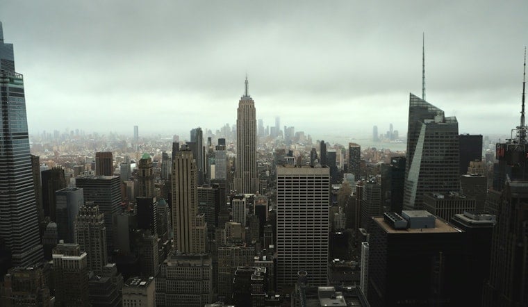
New Yorkers woke up Monday to light rain, thick fog and a Flood Watch hanging over the entire city during the morning rush. Multiple rounds of showers and thunderstorms are on tap, and forecasters say 2 to 3 inches of rain are likely in many neighborhoods, with isolated spots picking up as much as 4 inches. It will feel more like early spring than July, with highs near 71°F, and gusty east to northeast winds will add a raw, unpleasant edge. Expect a slow, soggy commute and pockets of flooding in low-lying and poor-drainage areas.
The Flood Watch runs through 6 a.m. Tuesday and covers all five boroughs, and Small Craft Advisories remain in effect for Long Island Sound and the south-shore bays, according to the National Weather Service. Storms could dump rain at rates of 1 to 2 inches per hour where cells repeatedly move over the same area, which is where the flash-flood risk will be highest. Look for east-northeast winds of 10 to 15 mph with gusts near 20 to 25 mph along the waterfront, which will increase ponding on roads and make travel slower and wetter.
Flooding And Commute Impacts
Urban streets, underpasses and basement apartments are the most likely trouble spots, so avoid driving through standing water and move to higher ground if water starts to rise. If you encounter a flooded road, turn around - do not try to power through - and follow official safety steps. You can find what to do before, during and after a flood in federal guidance from the CDC. Expect some localized street closures, slick subway stairways and slower bus service during both the morning and evening commutes.
Boaters And Beaches
Boat operators should plan to stay in port and postpone small-boat outings until seas settle down, since strong east-northeast gusts and 4 to 5 foot waves will make conditions hazardous. Ocean beaches will face a moderate rip-current risk during and after the heavier downpours, so heed lifeguards and posted warnings. Fog and reduced visibility near the water will add to the hazards, and it is a good idea to secure loose gear and avoid waterfront travel during the heaviest rain.
Timing And Outlook
The steadiest and heaviest rain is expected today and tonight, with showers sticking around into Tuesday before conditions gradually improve. Tuesday will stay on the cool side with highs in the low 70s, and by Wednesday skies should turn sunnier with highs in the mid- to upper-70s. Keep an eye on updated forecasts and build in extra travel time while the Flood Watch remains in effect.





