

























































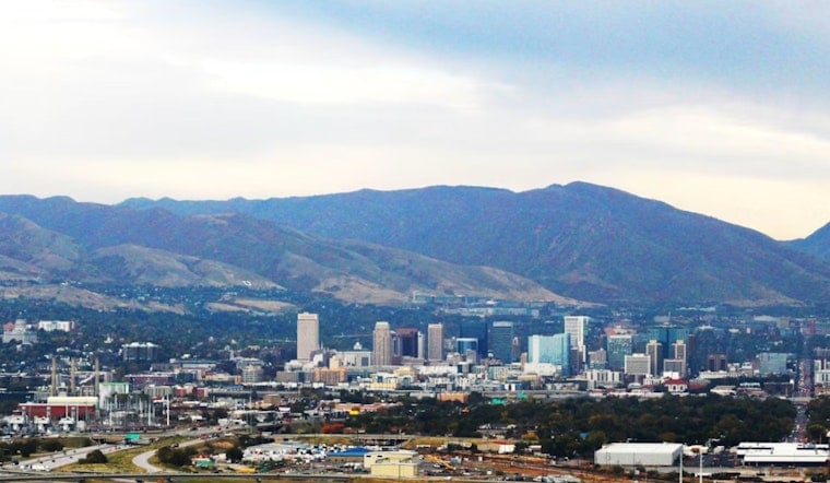
Salt Lake City started Tuesday, July 21, on the damp side, with light rain moving through before sunrise and a warm, muggy feel that hinted the atmosphere was just getting warmed up. Around 5:35 a.m. MDT, KSLC reported light rain and roughly 816F (276C) on the ground, and the valley is expected to heat into the upper 90s before storms fire up later, which will leave the day feeling both hot and unstable.
Afternoon Storms And Flood Watch
A Flood Watch is in effect from noon MDT Tuesday, July 21 through late tonight for much of central and southern Utah, with scattered afternoon storms capable of dumping very heavy rain in short bursts. According to the National Weather Service Salt Lake City, some storms could produce rainfall rates of 1 to 1.5 inches per hour, with isolated strong gusts to 35 to 65 mph and small hail possible. With monsoonal moisture in place, storms may train or back-build over the same areas, which raises the risk of flash flooding in burn scars, slot canyons and low-lying washes.
Heat And Local Resources
Highs are expected to top out near 996F this afternoon, although clouds and passing showers may shave a few degrees off in some neighborhoods. Salt Lake County maintains a public emergency dashboard and lists cooling centers and local resources for residents, so anyone needing a break from the heat can call 2-1-1 or check the Salt Lake County dashboard for locations and hours.
What To Watch And Do
Flash flooding can develop quickly in heavy downpours, so avoid driving through flooded streets and be prepared for rapid road or canyon closures if storms flare up overhead. Do not attempt slot-canyon hikes or travel through recent burn-scar areas while storms are active, and bring multiple ways to receive alerts so you can delay nonessential outdoor plans until the worst of the weather passes. If you must be on the road, reduce speed, give extra stopping distance for sudden ponding, and move to higher ground if water begins to rise.





