

























































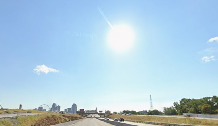
St. Louis woke up Wednesday, July 22, to a rare treat in mid-summer: mostly clear skies, temperatures near 68°F and a light north breeze. Dew points have slipped into the low 60s, which is just enough to make the air feel noticeably less soupy than earlier in the week. Midday errands, runs and patio hangs will be more comfortable, with highs topping out in the low-to-mid 80s, a welcome break from last week’s heat.
Midweek Outlook and Rain Timing
Forecasters are calling for mostly sunny skies and a high near 84°F on Wednesday, with the drier, cooler pattern hanging on through Thursday. The break does not last long, though. The next round of showers and thunderstorms is expected to move in late Thursday night (July 23) and linger into Saturday (July 25).
Rain and thunder chances peak Friday (July 24), with local probabilities around 40–50 percent and a slight risk for pockets of heavy, excessive rainfall. Winds should remain light out of the north and northeast. For the latest timing and any updated advisories, check the National Weather Service St. Louis.
Weekend Heat Returns
Once this brief cooldown wraps up, the summer furnace flips back on. Temperatures climb again with highs near 90°F on Saturday (July 25), then crank up into the mid- to upper-90s by Sunday (July 26) and Monday (July 27), with readings expected around 97–98°F.
That kind of spike can put a serious strain on outdoor plans and on anyone without reliable air conditioning. It is worth shifting yard work, workouts and other heavy lifting to the morning or evening and keeping water close at hand. For context on the recent stretch of heat and how the pattern has been playing out around the city, take another look at how sticky St. Louis sizzles.
What This Means For You
Today is prime time for outdoor dining, dog walks and knocking out those errands you have been putting off. Mornings may feel cool enough for a light layer, but the lower humidity will keep the afternoon very manageable by July standards.
If your plans stretch into Friday or the July 24–27 window, work in a backup option in case showers or thunderstorms develop. Avoid driving through flooded roads if heavy downpours hit. Check the forecast before heading out, keep an eye on changing storm chances and be ready to dial things back during the late-week storms and the late-weekend heat.





