

























































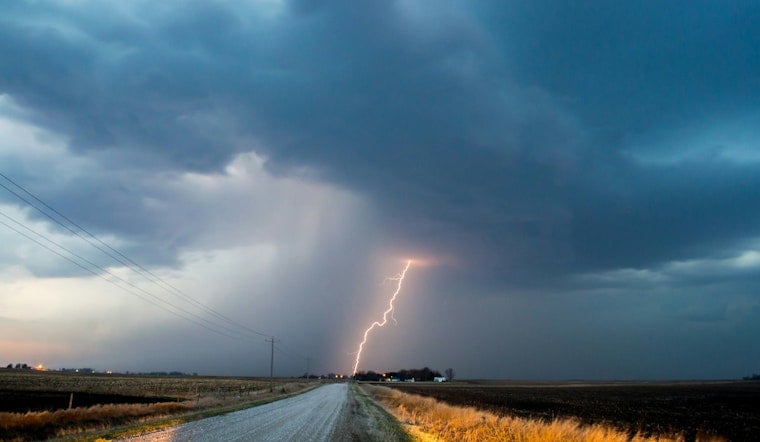
Knoxville stepped out the door Tuesday, July 28, 2026, into air that felt more like a sauna than a summer morning, with temperatures around 75°F at McGhee-Tyson Airport and dew points in the low 70s. The rest of the day is shaping up to be hot and unsettled, with highs near 92°F and a solid shot at afternoon and evening showers and thunderstorms. Factor in the humidity and the heat index could push into the triple digits.
Afternoon Storm Threat
Scattered to numerous storms are expected from late morning through the early evening, with the most active window likely from midday through about 2-8 p.m. local time. Forecasters say damaging wind gusts are the main concern, with brief heavy downpours that could trigger isolated flash flooding, along with a low-end chance of small hail or a brief tornado in any stronger cells that manage to flare up. Southwest winds should run about 5-15 mph with gusts up to 25 mph, and most spots will likely see only a few tenths of an inch of rain, though heavier totals are possible under the more intense storms. According to the National Weather Service, both timing and intensity still carry some uncertainty, so it is worth staying plugged in for changes.
Heat And Safety
The storms are only half the story. Humidity will crank up how it feels outside, with heat index values in parts of the valley potentially climbing to around 100-105°F this afternoon. If you work or exercise outdoors, try to avoid the hottest part of the day, especially midday into mid-afternoon, and sip plain water regularly. It is also a good day to check on older neighbors, young kids, and pets. The city and local partners have set up cooling centers and extended hours at libraries and rec centers; you can find locations and times through coverage from WVLT.
Evening, Commute And Week Ahead
Showers and thunderstorms should gradually wind down overnight, with lows near 70°F, although a few scattered showers may hang on into Tuesday night. Wednesday, July 29, is expected to turn a bit quieter and a touch cooler, with highs in the mid-80s. Temperatures are forecast to hold near to slightly below normal later in the week, with rain chances making a return by Saturday. If you have plans that depend on dry weather, keep an eye on updates and be ready to shuffle outdoor activities if storms start moving in.




