Pittsburgh woke up in a steam bath on Wednesday, July 1. It is mostly cloudy and painfully muggy across the city, with temperatures near 77°F and dew points in the low 70s. The sun is expected to punch through by mid-morning, and once it does, the heat will ramp up quickly, with highs headed for the upper 90s. If you need to be outside, you are better off running errands early or later in the evening and skipping heavy exertion during the hottest part of the day.
Afternoon Heat And Humidity
By mid to late afternoon, highs are expected to climb into the upper 90s, with the forecast calling for a high near 98°F on Wednesday. West winds of 5 to 9 mph will not do much to cool things down, and overnight temperatures will only fall into the mid-70s, offering little real relief.
An Extreme Heat Warning is in effect through 10:00 PM EDT Friday, July 3, and the NWS warns that heat index values could reach 110°F, which significantly raises the risk of heat-related illness. You can read the full warning from NWS Pittsburgh.
Where To Find Relief
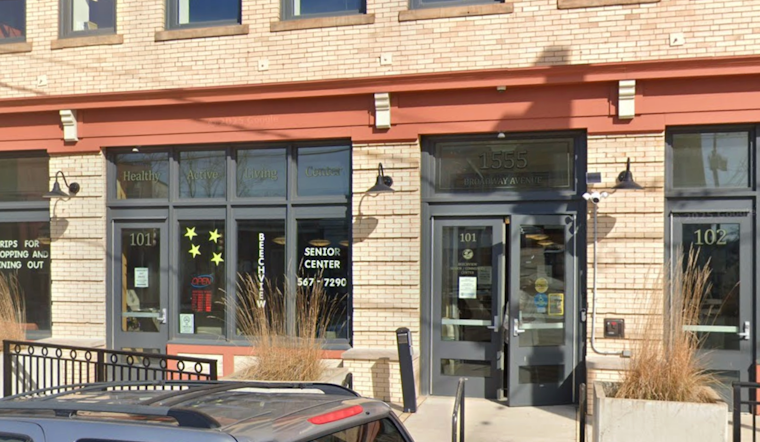
The City of Pittsburgh’s CitiParks department has opened five Healthy Active Living senior centers as cooling centers, operating from 8:00 AM to 7:00 PM through Thursday, July 2, to give residents a place to cool down with air conditioning, according to the City of Pittsburgh. If you or someone you know does not have air conditioning, call 2-1-1 for the latest list of open sites, drink plenty of water, and keep an eye on older neighbors and infants during the peak heat.
One more thing that should go without saying but never quite does: do not leave pets or children in parked cars, even for a few minutes. Interior temperatures can become lethal in a very short time.
Holiday Weekend Outlook
The heat is expected to peak on Thursday, with highs near 100°F and heat-index values in the upper 100s. Friday stays brutally hot, with highs in the upper 90s and a slight chance of afternoon storms. Any storms that do pop up could briefly lower temperatures, but they also bring lightning and gusty winds.
Forecast guidance suggests some relief starting Saturday as the pattern shifts to bring more clouds and scattered thunderstorms. Still, the early July holiday will stay on the warm side, so build shade, water breaks, and indoor cool-off time into any outdoor plans. Before heading out to parades or fireworks, keep an eye on late-day forecasts and advisories in case the weather decides to add some drama of its own.


