

























































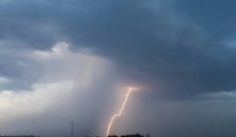
Knoxville rolled into Sunday, July 26, 2026, under low clouds and serious stickiness, with the McGhee Tyson area starting the day around 75°F and dewpoints in the low 70s. Scattered showers and thunderstorms are sliding through this morning, and any storms that repeatedly pass over the same spots could trigger isolated flooding in a few neighborhoods.
Today: Morning Storms, Hot Afternoon
The National Weather Service Morristown calls for a chance of showers and thunderstorms before 8 a.m., then a slight chance lingering into midmorning. Skies should turn partly sunny later in the day, with a high near 89°F and heat index readings pushing into the mid 90s. Northwest winds stay light at 0 to 5 mph, and the stronger pockets of rain could drop roughly a tenth to a quarter of an inch.
This Week: Rising Heat and a Tuesday Threat
Temperatures edge up as the week starts, with highs around 90°F on Monday and near 92°F on Tuesday, and valley heat index values climbing into the upper 90s. Tuesday afternoon and evening carry the best shot at a few strong to severe storms, with gusty winds as the main concern if storms intensify. By mid to late week, forecasters expect conditions to turn mostly drier and a bit less humid.
Local Resources and Planning
City officials have expanded cooling options, keeping two primary cooling centers open through July 30. Call 2-1-1 to confirm hours and availability before heading out. A roundup of cooling sites and extended hours is outlined by WIVK, and public pools and splash pads are also being used as relief from the heat. If you are planning to be outside, try to schedule hard work for the early morning or evening, drink plenty of water, and have a quick plan to get indoors if storms bubble up.
No watches or warnings are in effect for Knox County this morning, but the setup can change in a hurry, so keep weather alerts enabled and check local radar if you have outdoor plans. If a severe thunderstorm or flash flood warning is issued, move to shelter and stay away from flooded roads.



