

























































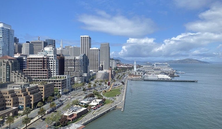
San Francisco rolled in today under a cool, gray blanket of marine layer, with patchy fog and temperatures hovering around 56°F. The city is settling into its usual split personality: low clouds and mist clinging to the shoreline while inland neighborhoods see partly sunny skies and afternoon highs in the mid-60s, paired with steady west-southwest breezes.
The marine layer is expected to stick around through the weekend, keeping waterfront areas and beaches on the chilly, damp side at sunrise, even as inland spots warm up later in the day. Rain is not in the cards, so outdoor plans are safe enough as long as you bring a light jacket for the cooler stretches.
Afternoon Winds and Airport Mornings
Onshore winds will run out of the west-southwest around 6-13 mph, with gusts up to 18 mph, and exposed spots like piers and bridge crossings will feel noticeably brisk. According to the National Weather Service, highs should top out near 66°F today and ceilings at Bay Area terminals are expected to lift to VFR by the afternoon, with MVFR returning overnight. Commuters and anyone planning time along the waterfront should plan on a solid afternoon breeze.
Looking Ahead
Moisture from Tropical Storm Elida, spinning far offshore, could nudge humidity and daytime temperatures slightly higher early next week. Forecasts at the National Hurricane Center indicate Elida should stay well south of California, but its remnants may send a bit more moisture northward by next Tuesday, leaving the week a touch more humid than this weekend.
Plan For Layers
Layers will be your friend: mornings stay damp and cool, afternoons turn mild inland, and the breeze near the water can keep things feeling cool even under brighter skies. If you are flying through SFO this morning or this evening, check with your airline for any schedule updates as ceilings and winds shift through the day.





